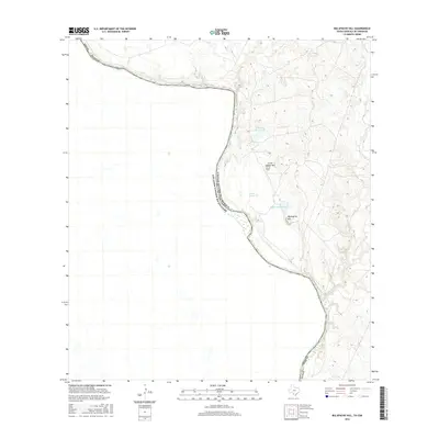
2016 Map of Big Apache Hill
USGS Topo · Published 2016About this map
The Rio Grande defines the international boundary between the United States and Mexico in this riverfront section of Webb County. The landscape is dominated by significant elevations that provide a stark contrast to the riparian corridor, most notably Big Apache Hill and the nearby Little Apache Hill. This terrain is further defined by a series of intermittent drainages and ranch-related water features, reflecting the arid environment and the essential role of water management for local land use.
Find a feature on this map
11 named features on this map. Tap any name to fly to it.
Don’t see what you’re looking for? This feature index may not catch every label — zoom into the map to look around manually.
Map Details
Editions of this 2016 Big Apache Hill Map
This is the sole edition of this map. No revisions or reprints were ever made.
Other maps of this area

1923 · Palafox
USGS Topo · 1:62,500

1929 · Cotulla
USGS Topo · 1:125,000

1940 · San Loranzo Creek
USGS Topo · 1:62,500

1940 · Chupadera
USGS Topo · 1:62,500

1953 · Crystal City
USGS Topo · 1:250,000

1955 · Crystal City
USGS Topo · 1:250,000

1956 · Laredo
USGS Topo · 1:250,000

1958 · Eagle Pass
USGS Topo · 1:250,000

1961 · Crystal City
USGS Topo · 1:250,000

1965 · Eagle Pass
USGS Topo · 1:250,000