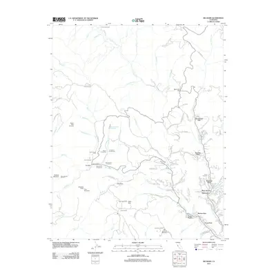
2012 Map of Big Basin
USGS Topo · Published 2012About this map
Big Basin and its surrounding redwood-forested drainages define this landscape at the start of the 2010s, showing a network of mountain settlements and recreational camps. The map traces the upper reaches of the San Lorenzo River and Boulder Creek, where residential clusters like Riverside Grove, Wildwood, and Bracken Brae are tucked into the steep topography. Significant infrastructure for campers and hikers is evident at Governors Camp, Wastahi Campground, and Huckleberry Campground, all centered around the water resources of Sempervirens Reservoir.
Find a feature on this map
126 named features on this map. Tap any name to fly to it.
Don’t see what you’re looking for? This feature index may not catch every label — zoom into the map to look around manually.
Map Details
Editions of this 2012 Big Basin Map
This is the sole edition of this map. No revisions or reprints were ever made.
Other maps of this area

1897 · Palo Alto
USGS Topo · 1:62,500

1899 · Palo Alto
USGS Topo · 1:62,500

1902 · Santa Cruz
USGS Topo · 1:125,000

1940 · Halfmoon Bay
USGS Topo · 1:62,500

1940 · Ano Nuevo
USGS Topo · 1:62,500

1941 · Ano Nuevo Pt.
USGS Topo · 1:62,500

1941 · Palo Alto
USGS Topo · 1:62,500

1942 · Ano Nuevo
USGS Topo · 1:62,500

1943 · Palo Alto
USGS Topo · 1:62,500

1943 · Halfmoon Bay
USGS Topo · 1:62,500