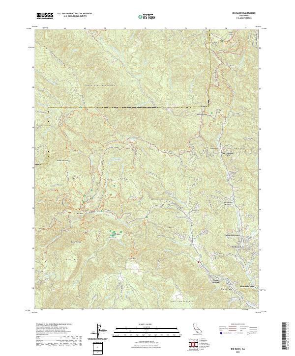
2021 Map of Big Basin
USGS Topo · Published 2021About this map
The Santa Cruz Mountains dominate this landscape, where the ancient redwood groves of Big Basin meet a network of mid-century canyon settlements. The drainage patterns of the San Lorenzo River and Pescadero Cr dictate the layout of the region's infrastructure, from the winding China Grade Rd to the various trails like the Skyline To The Sea Trl. This area is characterized by concentrated residential clusters such as Boulder Creek and Riverside Grove that cling to the river valley floors, contrasted against the high, isolated summits of Ben Lomond Mtn and McAbee Mtn.
Find a feature on this map
143 named features on this map. Tap any name to fly to it.
Don’t see what you’re looking for? This feature index may not catch every label — zoom into the map to look around manually.
Map Details
Editions of this 2021 Big Basin Map
This is the sole edition of this map. No revisions or reprints were ever made.
Other maps of this area

1897 · Palo Alto
USGS Topo · 1:62,500

1899 · Palo Alto
USGS Topo · 1:62,500

1902 · Santa Cruz
USGS Topo · 1:125,000

1940 · Halfmoon Bay
USGS Topo · 1:62,500

1940 · Ano Nuevo
USGS Topo · 1:62,500

1941 · Ano Nuevo Pt.
USGS Topo · 1:62,500

1941 · Palo Alto
USGS Topo · 1:62,500

1942 · Ano Nuevo
USGS Topo · 1:62,500

1943 · Palo Alto
USGS Topo · 1:62,500

1943 · Halfmoon Bay
USGS Topo · 1:62,500