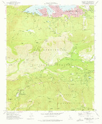
1970 Map of Big Bear Lake
USGS Topo · Published 1975About this map
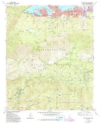
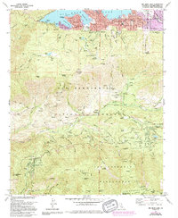
Big Bear Lake anchors this 1970 survey of the San Bernardino Mountains, showcasing a landscape defined by seasonal recreation and high-altitude settlements. The northern shoreline is densely developed around Metcalf Bay and Boulder Bay, while the surrounding slopes of the San Bernardino National Forest are dotted with numerous youth and organizational retreats, including Camp Osito Rancho and Camp Tahquitz. The map captures the infrastructure of mountain life, from the Big Bear High School to the remote Glen Martin School and the Angelus Oaks PO at Camp Angelus. In the southern reaches, the San Gorgonio Wilderness protects high peaks such as Bernardino Peak and Anderson Peak. This era reflects a period of established alpine tourism, where Snow Summit and a network of trails like the Siberia Trail provided access to the crests above the Santa Ana River.
Find a feature on this map
96 named features on this map. Tap any name to fly to it.
Don’t see what you’re looking for? This feature index may not catch every label — zoom into the map to look around manually.
Map Details
Editions of this 1970 Big Bear Lake Map
6 editions found
Other maps of this area

1899 · Redlands
USGS Topo · 1:62,500

1901 · Southern California Sheet No. 1
USGS Topo · 1:250,000

1901 · Redlands
USGS Topo · 1:62,500

1902 · Deep Creek
USGS Topo · 1:62,500

1902 · San Gorgonio
USGS Topo · 1:125,000

1904 · Southern California Sheet No. 1
USGS Topo · 1:250,000

1947 · Lucerne Valley
USGS Topo · 1:62,500

1949 · Lucerne Valley
USGS Topo · 1:62,500

1953 · San Bernardino
USGS Topo · 1:250,000
1953 · Keller Peak
USGS Topo · 1:24,000