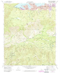
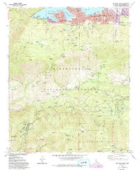
1970 Map of Big Bear Lake
USGS Topo · Published 1988About this map
Big Bear Lake anchors this survey of the high mountain terrain within the San Bernardino National Forest. The map documents a transition from the established shoreline settlements of Boulder Bay and Big Bear Lake town to the dense network of organizational camps and forest service outposts in the southern backcountry. Cultural landmarks of the era include the Bear Drive-in Theater and Radio Towers (KTOT), while the presence of Big Bear High Sch and Middle Sch marks the year-round growth of the community.
Find a feature on this map
89 named features on this map. Tap any name to fly to it.
Don’t see what you’re looking for? This feature index may not catch every label — zoom into the map to look around manually.
Map Details
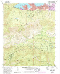
Editions of this 1970 Big Bear Lake Map
6 editions found
Other maps of this area

1899 · Redlands
USGS Topo · 1:62,500

1901 · Southern California Sheet No. 1
USGS Topo · 1:250,000

1901 · Redlands
USGS Topo · 1:62,500

1902 · Deep Creek
USGS Topo · 1:62,500

1902 · San Gorgonio
USGS Topo · 1:125,000

1904 · Southern California Sheet No. 1
USGS Topo · 1:250,000

1947 · Lucerne Valley
USGS Topo · 1:62,500

1949 · Lucerne Valley
USGS Topo · 1:62,500

1953 · San Bernardino
USGS Topo · 1:250,000
1953 · Keller Peak
USGS Topo · 1:24,000