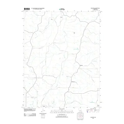
2012 Map of Big Bend
USGS Topo · Published 2012About this map
The Maries River winds through this central Missouri landscape, anchoring a network of small rural settlements and family landmarks. In the southern portion of the map, the city of Dixon marks a significant hub of local activity, while smaller communities like Big Bend and Shantytown are situated further north along the county road system. The presence of the Weldon Post Office and family-named burial grounds, including Dodd Cemetery and Bumpass Cemetery, points to the long-standing agricultural and residential roots of the region.
Find a feature on this map
50 named features on this map. Tap any name to fly to it.
Don’t see what you’re looking for? This feature index may not catch every label — zoom into the map to look around manually.
Map Details
Editions of this 2012 Big Bend Map
This is the sole edition of this map. No revisions or reprints were ever made.
Other maps of this area

1888 · Tuscumbia
USGS Topo · 1:125,000

1894 · Tuscumbia
USGS Topo · 1:125,000

1912 · Rolla
USGS Topo · 1:62,500

1936 · Waynesville
USGS Topo · 1:48,000

1937 · Vienna
USGS Topo · 1:62,500

1938 · Vienna
USGS Topo · 1:48,000

1942 · Waynesville
USGS Topo · 1:62,500

1944 · Waynesville
USGS Topo · 1:62,500

1947 · Jefferson City
USGS Topo · 1:250,000

1948 · Tavern
USGS Topo · 1:62,500