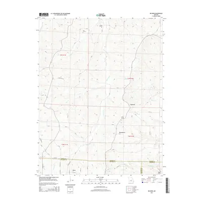
2015 Map of Big Bend
USGS Topo · Published 2015About this map
The Maries River and Little Maries River define this central Missouri landscape, where the town of Dixon sits at the southern edge near the Pulaski and Maries County line. The terrain is characterized by intricate drainage systems such as Prairie Cr, Dry Cr, and Montague Cr which carve through the land to create notable features like Clifty Hollow and Dobbs Hollow. For genealogists and local historians, the map identifies specific resting places including Dodd Cemetery and Bumpass Cemetery, alongside named landmarks like the Big V Ranch Lake. This 2015 update reflects the modern road network, tracing numerous county routes like Little Maries Rd and Cedar Valley Rd that connect rural homesteads and agricultural lands across the townships of T39N and T38N.
Find a feature on this map
63 named features on this map. Tap any name to fly to it.
Don’t see what you’re looking for? This feature index may not catch every label — zoom into the map to look around manually.
Map Details
Editions of this 2015 Big Bend Map
This is the sole edition of this map. No revisions or reprints were ever made.
Other maps of this area

1888 · Tuscumbia
USGS Topo · 1:125,000

1894 · Tuscumbia
USGS Topo · 1:125,000

1912 · Rolla
USGS Topo · 1:62,500

1936 · Waynesville
USGS Topo · 1:48,000

1937 · Vienna
USGS Topo · 1:62,500

1938 · Vienna
USGS Topo · 1:48,000

1942 · Waynesville
USGS Topo · 1:62,500

1944 · Waynesville
USGS Topo · 1:62,500

1947 · Jefferson City
USGS Topo · 1:250,000

1948 · Tavern
USGS Topo · 1:62,500