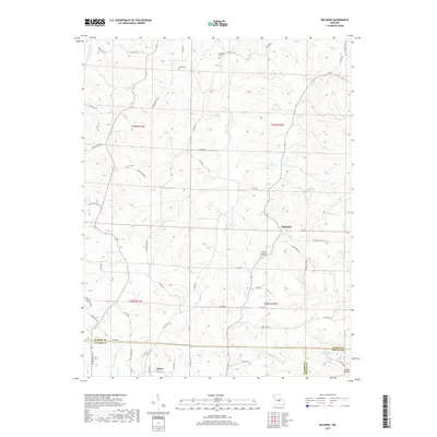
2017 Map of Big Bend
USGS Topo · Published 2017About this map
The Maries River carves a winding path through the heart of the Ozark plateau, defining the drainage patterns of Maries, Pulaski, and Phelps counties. On the southern edge of the sheet, the northern outskirts of Dixon mark the transition from the rolling highlands toward the river basin. The landscape is characterized by a dense network of seasonal and perennial waterways, including Rodgers Cr, Prairie Cr, and Little Clifty Cr, which feed into the larger river system. Local family history is preserved at Bumpass Cem and Dodd Cem, situated among the ridges north of the river. Small impoundments like Knoblauch Lake and Big V Ranch Lake offer contrast to the naturally occurring tributary hollows, such as Clifty Hollow and Dobbs Hollow. This terrain, primarily accessed via state routes like State Hwy N and State Hwy BB, reflects a rural Missouri landscape where upland agriculture meets the wooded breaks of the Maries River valley.
Find a feature on this map
66 named features on this map. Tap any name to fly to it.
Don’t see what you’re looking for? This feature index may not catch every label — zoom into the map to look around manually.
Map Details
Editions of this 2017 Big Bend Map
This is the sole edition of this map. No revisions or reprints were ever made.
Other maps of this area

1888 · Tuscumbia
USGS Topo · 1:125,000

1894 · Tuscumbia
USGS Topo · 1:125,000

1912 · Rolla
USGS Topo · 1:62,500

1936 · Waynesville
USGS Topo · 1:48,000

1937 · Vienna
USGS Topo · 1:62,500

1938 · Vienna
USGS Topo · 1:48,000

1942 · Waynesville
USGS Topo · 1:62,500

1944 · Waynesville
USGS Topo · 1:62,500

1947 · Jefferson City
USGS Topo · 1:250,000

1948 · Tavern
USGS Topo · 1:62,500