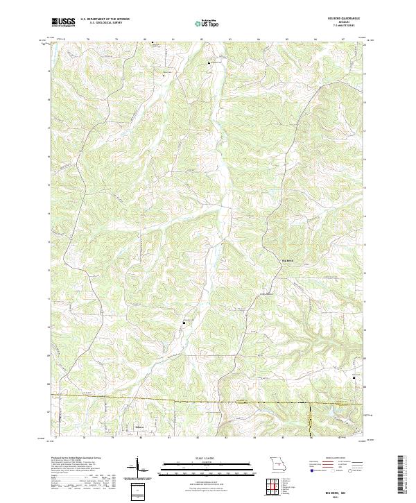
2021 Map of Big Bend
USGS Topo · Published 2021About this map
Maries River and the Little Maries River define this rural landscape at the junction of Maries, Pulaski, and Phelps counties. The southern edge of the sheet captures the northern expansion of Dixon, where residential streets like N Ellen St and Champion Rd meet the undulating terrain of the Ozark foothills. This area is characterized by scattered family homesteads and a network of secondary routes such as Cedar Valley Rd and Maries Road 630 that follow the natural contours of the land.
Find a feature on this map
68 named features on this map. Tap any name to fly to it.
Don’t see what you’re looking for? This feature index may not catch every label — zoom into the map to look around manually.
Map Details
Editions of this 2021 Big Bend Map
This is the sole edition of this map. No revisions or reprints were ever made.
Other maps of this area

1888 · Tuscumbia
USGS Topo · 1:125,000

1894 · Tuscumbia
USGS Topo · 1:125,000

1912 · Rolla
USGS Topo · 1:62,500

1936 · Waynesville
USGS Topo · 1:48,000

1937 · Vienna
USGS Topo · 1:62,500

1938 · Vienna
USGS Topo · 1:48,000

1942 · Waynesville
USGS Topo · 1:62,500

1944 · Waynesville
USGS Topo · 1:62,500

1947 · Jefferson City
USGS Topo · 1:250,000

1948 · Tavern
USGS Topo · 1:62,500