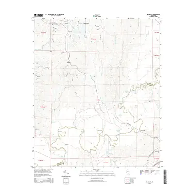
2015 Map of Big Black
USGS Topo · Published 2015About this map
The Big Black River meanders across the border of Warren and Claiborne counties, creating a complex hydrologic landscape of oxbows and cutoffs. These natural shifts in the river's course have left behind features like Congo Lake, Regan Lake, and the large landmass of Regan Island. The northern sections reflect mid-century residential growth near the river, evidenced by the themed street names of Sherwood Forest—including King Arthurs Rdg and Camelot Dr—and the adjacent Timberlane and Lake Park communities.
Find a feature on this map
67 named features on this map. Tap any name to fly to it.
Don’t see what you’re looking for? This feature index may not catch every label — zoom into the map to look around manually.
Map Details
Editions of this 2015 Big Black Map
This is the sole edition of this map. No revisions or reprints were ever made.
Other maps of this area

1918 · Vicksburg
USGS Topo · 1:62,500

1938 · Edwards
USGS Topo · 1:62,500

1939 · Yokena
USGS Topo · 1:62,500

1941 · Vicksburg
USGS Topo · 1:62,500

1955 · Jackson
USGS Topo · 1:250,000

1961 · Jackson
USGS Topo · 1:250,000

1962 · Jackson
USGS Topo · 1:250,000

1962 · Vicksburg West
USGS Topo · 1:24,000

1962 · Vicksburg East
USGS Topo · 1:24,000

1962 · Utica West
USGS Topo · 1:24,000