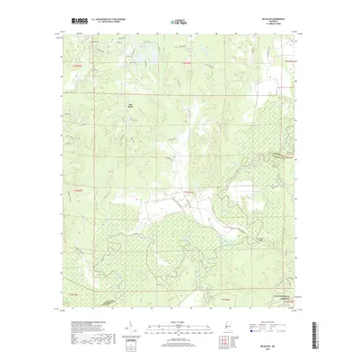
2018 Map of Big Black
USGS Topo · Published 2018About this map
The Big Black River carves a deep, serpentine path through this 2018 survey of the borderlands between Warren and Claiborne Counties. The landscape is defined by the shifting hydrology of the river's floodplain, where numerous oxbows and sloughs have created a complex network of named water bodies like Congo Lake, Regan Lake, and Horseshoe Lake. The presence of Regan Island suggests the historical movement of the river channel over time, leaving behind these distinct features in the low-lying Campbell Swamp area.
Find a feature on this map
63 named features on this map. Tap any name to fly to it.
Don’t see what you’re looking for? This feature index may not catch every label — zoom into the map to look around manually.
Map Details
Editions of this 2018 Big Black Map
This is the sole edition of this map. No revisions or reprints were ever made.
Other maps of this area

1918 · Vicksburg
USGS Topo · 1:62,500

1938 · Edwards
USGS Topo · 1:62,500

1939 · Yokena
USGS Topo · 1:62,500

1941 · Vicksburg
USGS Topo · 1:62,500

1955 · Jackson
USGS Topo · 1:250,000

1961 · Jackson
USGS Topo · 1:250,000

1962 · Jackson
USGS Topo · 1:250,000

1962 · Vicksburg West
USGS Topo · 1:24,000

1962 · Vicksburg East
USGS Topo · 1:24,000

1962 · Utica West
USGS Topo · 1:24,000