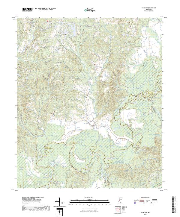
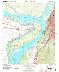
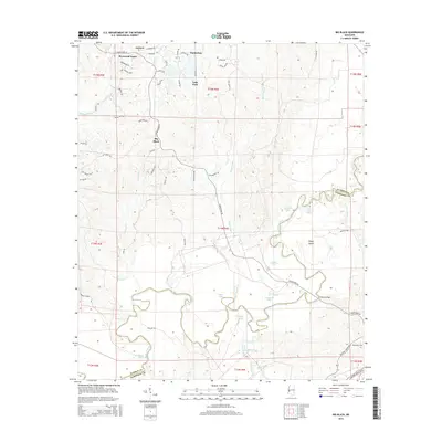
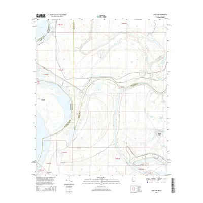
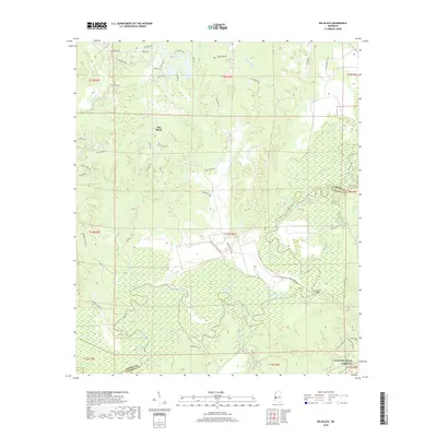
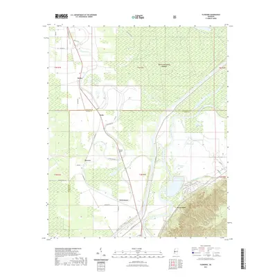
2024 Map of Big Black
USGS Topo · Published 2024About this map
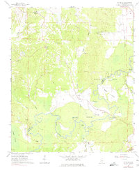
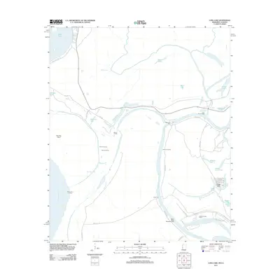
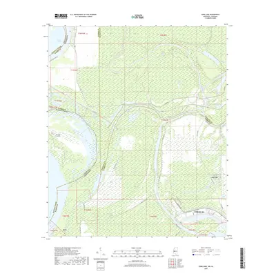
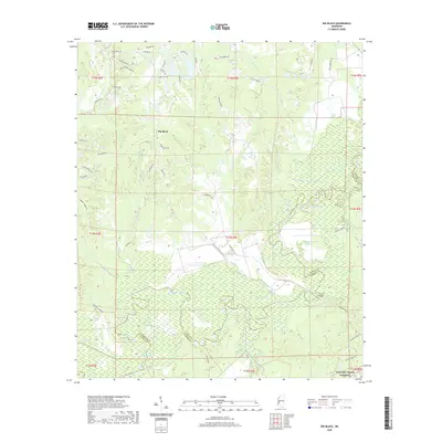
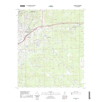
The Big Black River carves a complex, winding path through the borderlands of Warren and Claiborne counties, defining a landscape dominated by riparian features and swampy bottomlands. This survey illustrates a hydraulic environment where abandoned river channels have formed a series of oxbow lakes and sloughs, including West Carter Lake, Regan Lake, and Congo Lake. The presence of Regan Island and the expansive Campbell Swamp suggests a territory historically shaped by seasonal flooding and the shifting course of the river.
Find a feature on this map
62 named features on this map. Tap any name to fly to it.
Don’t see what you’re looking for? This feature index may not catch every label — zoom into the map to look around manually.
Map Details
Editions of this 2024 Big Black Map
This is the sole edition of this map. No revisions or reprints were ever made.
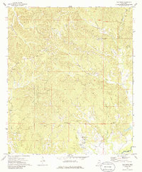
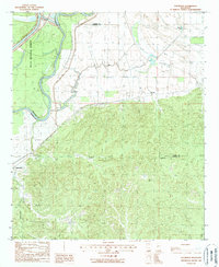
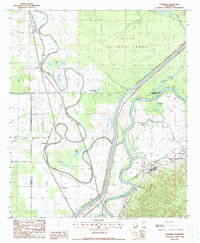
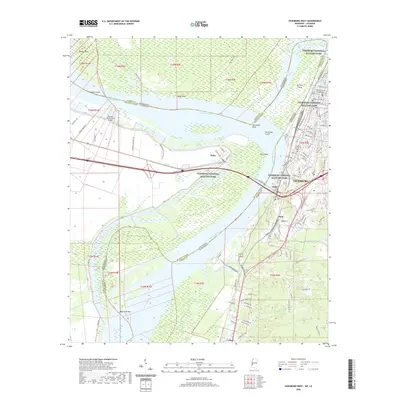
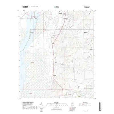
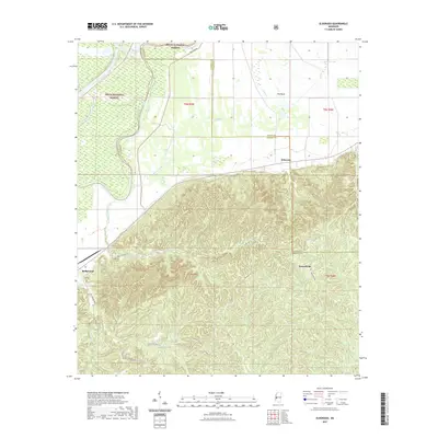
Historical Maps of Big Black Through Time
49 maps found
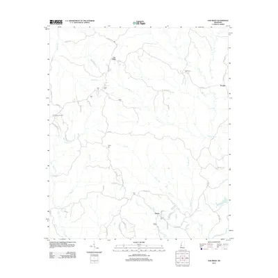
1962 Long Lake
Warren County, MS
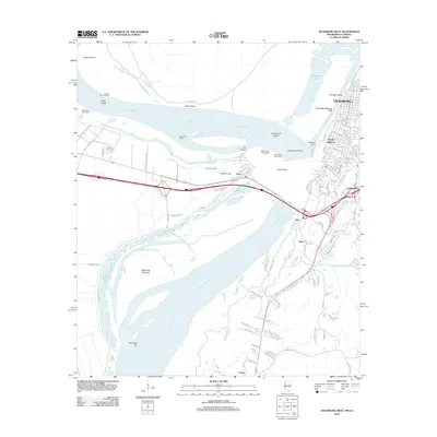
1962 Vicksburg East
Warren County, MS
1962 Vicksburg West
Warren County, MS
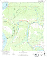
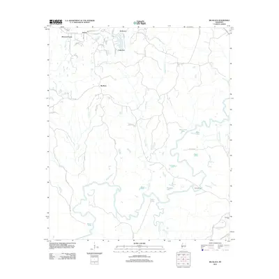
1963 Big Black
Warren County, MS

1963 Yokena
Warren County, MS
1972 Oak Ridge
Warren County, MS
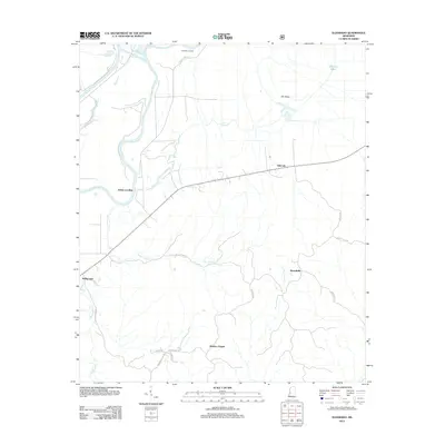
1988 Eldorado
Warren County, MS
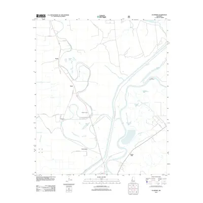
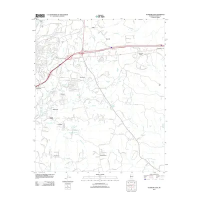
1988 Floweree
Warren County, MS
1998 Vicksburg West
Warren County, MS
2012 Big Black
Warren County, MS
2012 Eldorado
Warren County, MS
2012 Floweree
Warren County, MS
2012 Long Lake
Warren County, MS
2012 Oak Ridge
Warren County, MS
2012 Vicksburg East
Warren County, MS
2012 Vicksburg West
Warren County, MS
2012 Yokena
Warren County, MS
2015 Big Black
Warren County, MS
2015 Eldorado
Warren County, MS
2015 Floweree
Warren County, MS
2015 Long Lake
Warren County, MS
2015 Oak Ridge
Warren County, MS
2015 Vicksburg East
Warren County, MS
2015 Vicksburg West
Warren County, MS
2015 Yokena
Warren County, MS
2018 Big Black
Warren County, MS
2018 Eldorado
Warren County, MS
2018 Floweree
Warren County, MS
2018 Long Lake
Warren County, MS
2018 Oak Ridge
Warren County, MS
2018 Vicksburg East
Warren County, MS
2018 Vicksburg West
Warren County, MS
2018 Yokena
Warren County, MS
2020 Big Black
Warren County, MS
2020 Long Lake
Warren County, MS
2020 Oak Ridge
Warren County, MS
2020 Vicksburg East
Warren County, MS
2020 Vicksburg West
Warren County, MS
2020 Yokena
Warren County, MS
2021 Eldorado
Warren County, MS
2021 Floweree
Warren County, MS
2024 Big Black
Warren County, MS
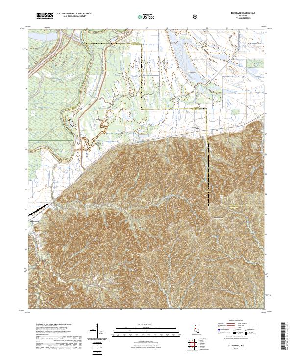
2024 Eldorado
Warren County, MS
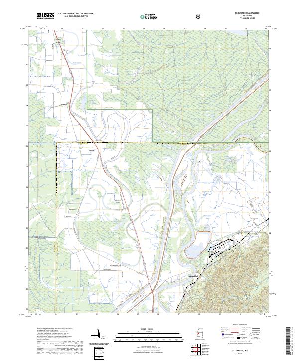
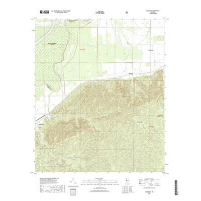
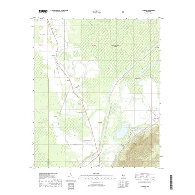
2024 Floweree
Warren County, MS
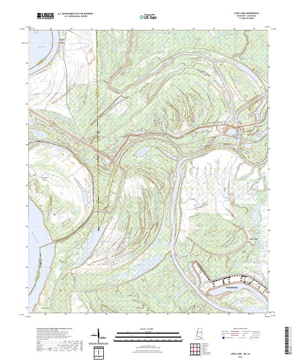
2024 Long Lake
Warren County, MS
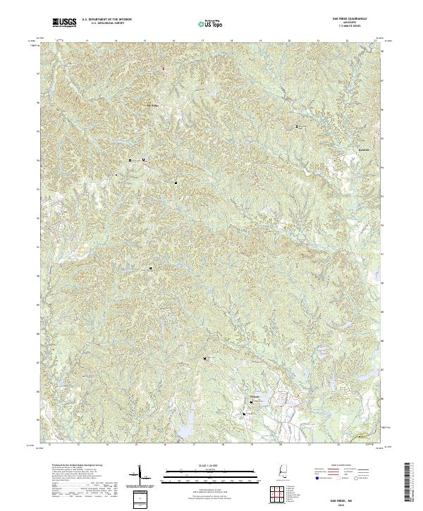
2024 Oak Ridge
Warren County, MS
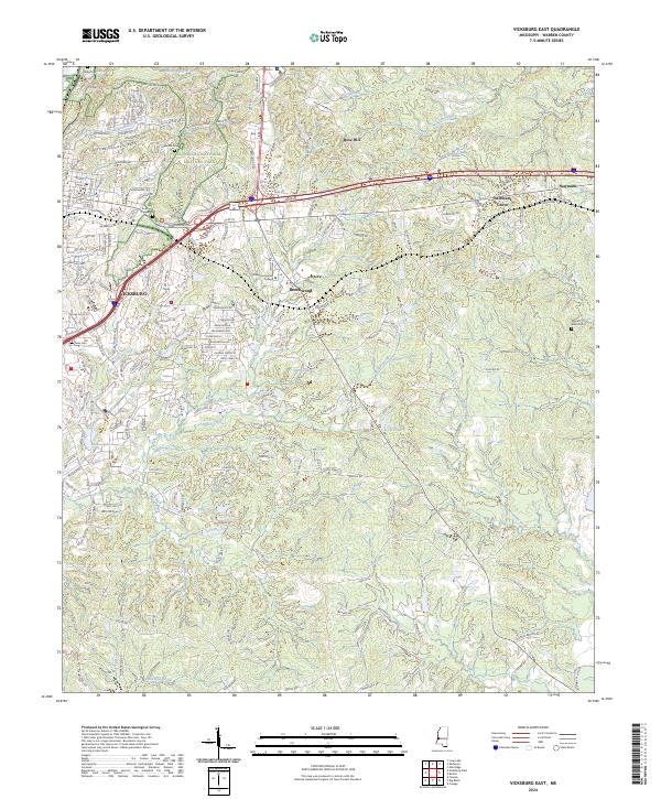
2024 Vicksburg East
Warren County, MS
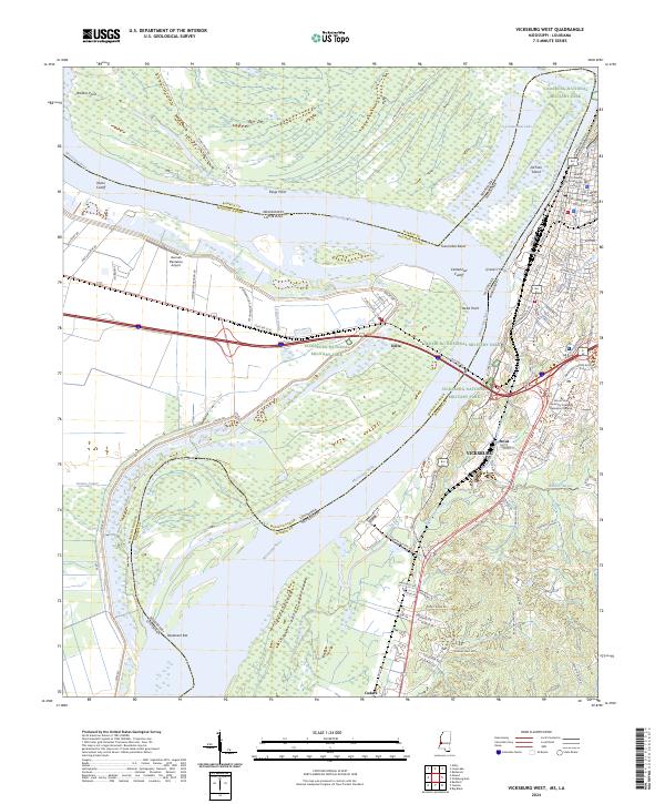
2024 Vicksburg West
Warren County, MS
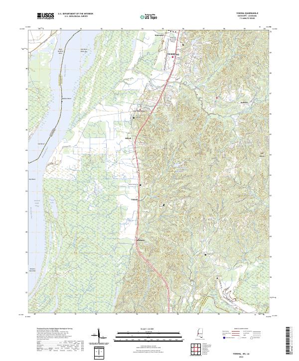
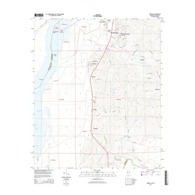
2024 Yokena
Warren County, MS