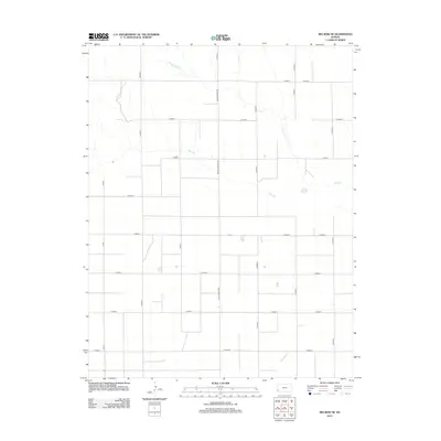
2012 Map of Big Bow NE
USGS Topo · Published 2012About this map
Wolf Cr and Bear Ck define the subtle drainage of this High Plains landscape in Grant County during the early 21st century. The terrain is structured by a rigid rectilinear grid of section-line roads, typical of the rural Midwest's agricultural geometry. Notable transit corridors such as the N Big Bow Grade and Co Road X facilitate movement through this sparsely populated township, where land use is dominated by large-scale farming. This 2012 survey illustrates the modern persistence of the Public Land Survey System, showing how legacy surveying methods continue to dictate the placement of local infrastructure. Scattered stock ponds and agricultural catchments are visible along the intermittent reaches of Wolf Cr, highlighting the critical importance of water management in this semi-arid region of western Kansas.
Find a feature on this map
26 named features on this map. Tap any name to fly to it.
Don’t see what you’re looking for? This feature index may not catch every label — zoom into the map to look around manually.
Map Details
Editions of this 2012 Big Bow NE Map
This is the sole edition of this map. No revisions or reprints were ever made.
Other maps of this area

1891 · Larned
USGS Topo · 1:125,000

1900 · Syracuse
USGS Topo · 1:125,000

1900 · Lakin
USGS Topo · 1:125,000

1920 · Syracuse
USGS Topo · 1:125,000

1955 · Dodge City
USGS Topo · 1:250,000

1958 · Dodge City
USGS Topo · 1:250,000

1959 · Dodge City
USGS Topo · 1:250,000

1959 · Ulysses NW
USGS Topo · 1:24,000

1959 · Big Bow NE
USGS Topo · 1:24,000

1959 · Big Bow NW
USGS Topo · 1:24,000