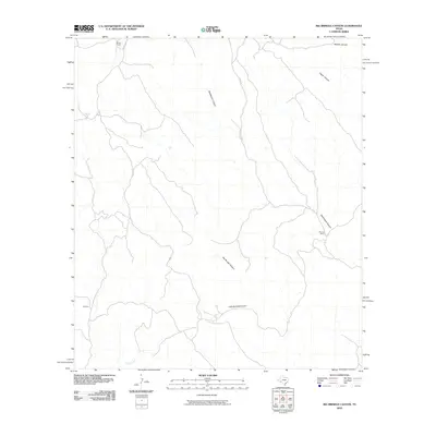
2010 Map of Big Brindle Canyon
USGS Topo · Published 2010About this map
Big Brindle Canyon and Little Brindle Canyon define the drainage patterns of this Pecos County landscape, where the seasonal waters of Maxon Creek flow through the southern reach. The topography is marked by a series of prominent draws including Washboard Canyon, Hagler Canyon, and Whitely Canyon, which illustrate the complex erosion of the Texas high desert. Human presence is sparse, centered on established ranching outposts such as Brown Ranch in the north and Murrah Ranch to the east. A small settlement or facility known as Ranchito sits in the southwest, connected by a network of local tracks and Pierce Rd. This map documents the remote ranching infrastructure and natural drainages of the Trans-Pecos region at the beginning of the twenty-first century.
Find a feature on this map
10 named features on this map. Tap any name to fly to it.
Don’t see what you’re looking for? This feature index may not catch every label — zoom into the map to look around manually.
Map Details
Editions of this 2010 Big Brindle Canyon Map
This is the sole edition of this map. No revisions or reprints were ever made.
Other maps of this area

1918 · Bullis Gap
USGS Topo · 1:62,500

1918 · Indian Wells
USGS Topo · 1:62,500

1920 · Longfellow
USGS Topo · 1:125,000

1928 · Sanderson
USGS Topo · 1:125,000

1954 · Fort Stockton
USGS Topo · 1:250,000

1958 · Fort Stockton
USGS Topo · 1:250,000

1959 · Emory Peak
USGS Topo · 1:250,000

1965 · Emory Peak
USGS Topo · 1:250,000

1968 · Big Brindle Canyon
USGS Topo · 1:24,000

1968 · Fresno Creek
USGS Topo · 1:24,000