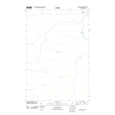
2011 Map of Big Brook Lake
USGS Topo · Published 2011About this map
Big Brook Lake and its surrounding watershed characterize this 2011 U.S. Geological Survey representation of T14 R10 WELS in northern Maine. The landscape is defined by an intricate network of waterways, including Big Brook and its various tributaries such as Five Finger Brook and Rocky Brook. This specific region of Aroostook County shows a remote, working timberland character with limited structural development. A primary human landmark is Joe Martins Camp, situated along the eastern bank of Big Brook. Smaller water bodies like Petes Pond and Sag Pond dot the terrain, while the curiously named Dead Horse Gulch in the northeast corner provides a hint of local lore. The drainage patterns of McKeen Brook and other streams illustrate the complex hydrology of this North Woods environment.
Find a feature on this map
9 named features on this map. Tap any name to fly to it.
Don’t see what you’re looking for? This feature index may not catch every label — zoom into the map to look around manually.
Map Details
Editions of this 2011 Big Brook Lake Map
This is the sole edition of this map. No revisions or reprints were ever made.
Other maps of this area

1931 · Fish River Lake
USGS Topo · 1:48,000

1931 · Mooseleuk Lake
USGS Topo · 1:48,000

1932 · Musquacook Lakes
USGS Topo · 1:48,000

1932 · Allagash Falls
USGS Topo · 1:48,000

1935 · Musquacook Lakes
USGS Topo · 1:62,500

1935 · Fish River Lake
USGS Topo · 1:62,500

1935 · Mooseleuk Lake
USGS Topo · 1:62,500

1935 · Allagash Falls
USGS Topo · 1:62,500

1954 · Presque Isle
USGS Topo · 1:250,000

1956 · Allagash Falls
USGS Topo · 1:50,000