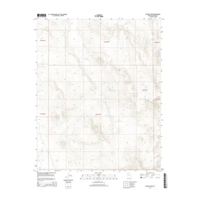
2014 Map of Big Bud Tank
USGS Topo · Published 2014About this map
Murphy Johnson Tank and several other numbered catchments define the water management landscape of this high-elevation Coconino County terrain. The survey highlights a series of man-made reservoirs, including Tank Number One, Tank Number Two, and Tank Number Three, which are essential for livestock and local land use in this arid region. The drainage patterns are largely dictated by Rodgers Draw, which cuts through the eastern portion of the survey. The cartography, produced by the U.S. Geological Survey using 2013 imagery, provides a clear view of the Public Land Survey System grid across multiple townships and ranges. Centered on Big Bud Tank, the map illustrates a landscape of high-desert basins and drainages typical of northern Arizona’s plateau country.
Find a feature on this map
12 named features on this map. Tap any name to fly to it.
Don’t see what you’re looking for? This feature index may not catch every label — zoom into the map to look around manually.
Map Details
Editions of this 2014 Big Bud Tank Map
This is the sole edition of this map. No revisions or reprints were ever made.
Other maps of this area

1886 · Chino
USGS Topo · 1:250,000

1891 · Chino
USGS Topo · 1:250,000

1948 · Williams
USGS Topo · 1:250,000

1954 · Williams
USGS Topo · 1:250,000

1956 · Williams
USGS Topo · 1:250,000

1960 · Williams
USGS Topo · 1:250,000

1961 · Williams
USGS Topo · 1:250,000
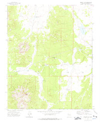
1973 · Mount Floyd
USGS Topo · 1:24,000
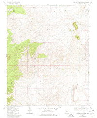
1980 · Rose Well Camp West
USGS Topo · 1:24,000
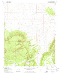
1980 · Black Tank
USGS Topo · 1:24,000