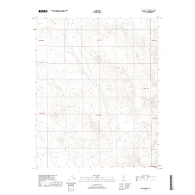
2018 Map of Big Bud Tank
USGS Topo · Published 2018About this map
Big Bud Tank sits at the center of this high-plateau landscape in northern Arizona, marking a vital water source in an otherwise arid expanse of Coconino County. The terrain is defined by the sharp incisions of Rodgers Draw, which carves through the eastern portion of the quadrangle. This 2018 survey illustrates the essential role of artificial catchments in the region, with Murphy Johnson Tank serving as a primary landmark to the north. The map's detailed contour lines reveal a complex system of ridges and drainages that dictate the movement of both water and wildlife across these public and private lands. The lack of named settlements or major roads emphasizes the area's use for ranching and resource management, as indicated by the carefully mapped township and range lines across the high desert floor.
Find a feature on this map
10 named features on this map. Tap any name to fly to it.
Don’t see what you’re looking for? This feature index may not catch every label — zoom into the map to look around manually.
Map Details
Editions of this 2018 Big Bud Tank Map
This is the sole edition of this map. No revisions or reprints were ever made.
Other maps of this area

1886 · Chino
USGS Topo · 1:250,000

1891 · Chino
USGS Topo · 1:250,000

1948 · Williams
USGS Topo · 1:250,000

1954 · Williams
USGS Topo · 1:250,000

1956 · Williams
USGS Topo · 1:250,000

1960 · Williams
USGS Topo · 1:250,000

1961 · Williams
USGS Topo · 1:250,000
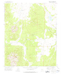
1973 · Mount Floyd
USGS Topo · 1:24,000
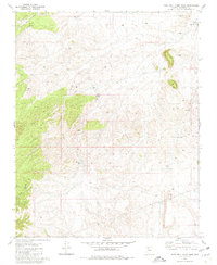
1980 · Rose Well Camp West
USGS Topo · 1:24,000
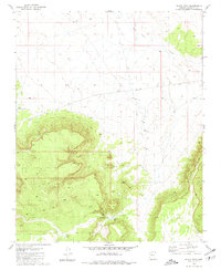
1980 · Black Tank
USGS Topo · 1:24,000