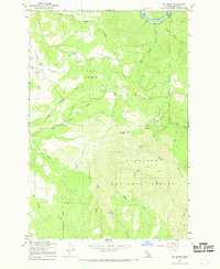
1966 Map of Big Cedar
USGS Topo · Published 1968About this map
Middle Fk Clearwater River defines the northern edge of this Idaho County landscape, where the terrain rises sharply into the Nez Perce National Forest. The 1966 field check reveals a remote area marked by timber and topographic extremes, including prominent landmarks such as Tahoe Ridge and the distinct peak of The Horn. Human presence is concentrated near the settlement of Big Cedar and the nearby Tahoe Cem, while the industrial activities of the era are signaled by a Tramway and Gravel Pit along the river's path.
Find a feature on this map
26 named features on this map. Tap any name to fly to it.
Don’t see what you’re looking for? This feature index may not catch every label — zoom into the map to look around manually.
Map Details
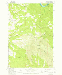
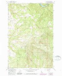
Editions of this 1966 Big Cedar Map
3 editions found
Other maps of this area

1924 · Weippe
USGS Topo · 1:125,000

1931 · Buffalo Hump
USGS Topo · 1:125,000

1934 · Buffalo Hump
USGS Topo · 1:125,000

1956 · Elk City
USGS Topo · 1:250,000

1956 · Hamilton
USGS Topo · 1:250,000

1959 · Hamilton
USGS Topo · 1:250,000

1960 · Elk City
USGS Topo · 1:250,000

1960 · Hamilton
USGS Topo · 1:250,000

1962 · Pilot Knob
USGS Topo · 1:24,000
1963 · Corral Hill
USGS Topo · 1:24,000