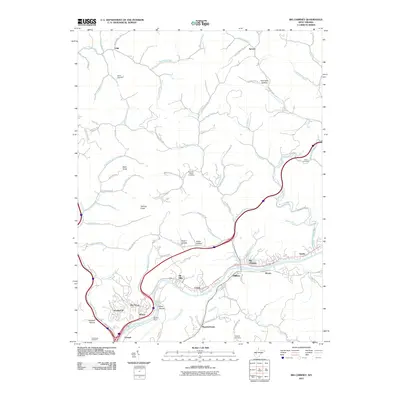
2011 Map of Big Chimney
USGS Topo · Published 2011About this map
The Elk River carves a deep valley through this portion of Kanawha County, shaping a landscape defined by sharp ridges and narrow hollows. In the southern half of the map, suburban expansion from the Charleston area is evident in the residential clusters of Big Chimney, Mink Shoals, and Knollwood. These settlements are tightly constrained between the winding river and steep terrain features like Bald Knob and Holmes Knob. The importance of the river for local infrastructure is marked by the Shoal Dam and the concentration of transportation routes including the historic corridor of the Elk River.
Find a feature on this map
88 named features on this map. Tap any name to fly to it.
Don’t see what you’re looking for? This feature index may not catch every label — zoom into the map to look around manually.
Map Details
Editions of this 2011 Big Chimney Map
This is the sole edition of this map. No revisions or reprints were ever made.
Other maps of this area

1897 · Kanawha Falls
USGS Topo · 1:125,000

1899 · Charleston
USGS Topo · 1:125,000

1900 · Kanawha Falls
USGS Topo · 1:125,000

1901 · Kanawha Falls
USGS Topo · 1:125,000
1906 · Kenna
USGS Topo · 1:62,500

1906 · Walton
USGS Topo · 1:62,500
1907 · Kenna
USGS Topo · 1:62,500
1907 · Walton
USGS Topo · 1:62,500
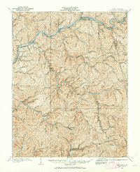
1907 · Clendenin
USGS Topo · 1:62,500
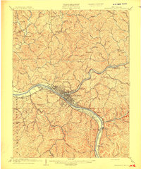
1909 · Charleston
USGS Topo · 1:62,500