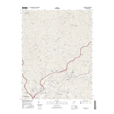
2016 Map of Big Chimney
USGS Topo · Published 2016About this map
Big Chimney and the surrounding river communities along the Elk River define this 2016 study of Kanawha County. The landscape is marked by steep valleys and narrow hollows, where settlements like Milliken, Bream, and Sandy cling to the riverbanks and highway corridors. The presence of the Elk River Rail-Trail following the northern bank reflects the regional transition from industrial rail use to recreational corridors, while the expansive footprint of Yeager Airport occupies the high ground to the south. Local history is deeply embedded in the terrain through numerous family and community burial sites, including the Burdette Walker Cem, Rock Memorial Cem, and Cavender Cem. The mapping also documents significant infrastructure serving the modern population, such as the New Big Chimney Bridge and the Little Sandy Creek Bridge, which connect the disparate ridges and hollows of the Appalachian Plateau.
Find a feature on this map
139 named features on this map. Tap any name to fly to it.
Don’t see what you’re looking for? This feature index may not catch every label — zoom into the map to look around manually.
Map Details
Editions of this 2016 Big Chimney Map
This is the sole edition of this map. No revisions or reprints were ever made.
Other maps of this area

1897 · Kanawha Falls
USGS Topo · 1:125,000

1899 · Charleston
USGS Topo · 1:125,000

1900 · Kanawha Falls
USGS Topo · 1:125,000

1901 · Kanawha Falls
USGS Topo · 1:125,000

1906 · Kenna
USGS Topo · 1:62,500

1906 · Walton
USGS Topo · 1:62,500

1907 · Kenna
USGS Topo · 1:62,500

1907 · Walton
USGS Topo · 1:62,500

1907 · Clendenin
USGS Topo · 1:62,500

1909 · Charleston
USGS Topo · 1:62,500