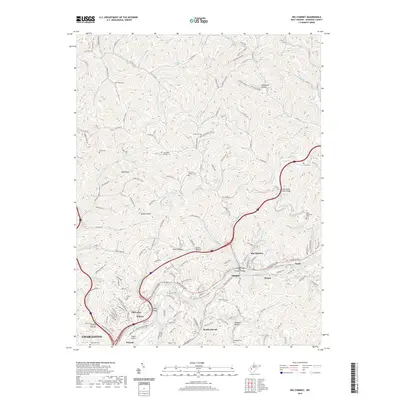
2019 Map of Big Chimney
USGS Topo · Published 2019About this map
Yeager Airport sits at the southern edge of this West Virginia landscape, overlooking the complex valley of the Elk River. The area is defined by a dense network of ridges and hollows, such as Scott Hollow and Tarkin Hollow, which channel development into tight corridors along the river and its tributaries. Significant family and community history is preserved in numerous upland burial grounds, including the Cavender Family Cem and Burdette-Walker Cem, which speak to generations of settlement away from the primary floodplains.
Find a feature on this map
190 named features on this map. Tap any name to fly to it.
Don’t see what you’re looking for? This feature index may not catch every label — zoom into the map to look around manually.
Map Details
Editions of this 2019 Big Chimney Map
This is the sole edition of this map. No revisions or reprints were ever made.
Other maps of this area

1897 · Kanawha Falls
USGS Topo · 1:125,000

1899 · Charleston
USGS Topo · 1:125,000

1900 · Kanawha Falls
USGS Topo · 1:125,000

1901 · Kanawha Falls
USGS Topo · 1:125,000

1906 · Kenna
USGS Topo · 1:62,500

1906 · Walton
USGS Topo · 1:62,500

1907 · Kenna
USGS Topo · 1:62,500

1907 · Walton
USGS Topo · 1:62,500

1907 · Clendenin
USGS Topo · 1:62,500

1909 · Charleston
USGS Topo · 1:62,500