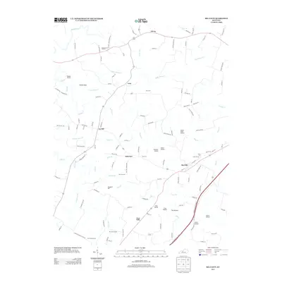
2013 Map of Big Clifty
USGS Topo · Published 2013About this map
Big Clifty and the surrounding Grayson County landscape are defined by a network of creeks and deep hollows that have historically shaped local movement and settlement. Situated near the intersection of several primary routes, the town of Big Clifty sits at the heart of a community marked by long-standing family landmarks and small rural outposts like Limp, Solway, and Saint Paul. The topography is particularly intricate along the southern reach, where Clifty Creek carves through The Narrows and Clifty Hollow.
Find a feature on this map
121 named features on this map. Tap any name to fly to it.
Don’t see what you’re looking for? This feature index may not catch every label — zoom into the map to look around manually.
Map Details
Editions of this 2013 Big Clifty Map
This is the sole edition of this map. No revisions or reprints were ever made.
Other maps of this area

1922 · Leitchfield
USGS Topo · 1:48,000

1925 · Cub Run
USGS Topo · 1:62,500

1925 · Leitchfield
USGS Topo · 1:62,500

1932 · Big Clifty
USGS Topo · 1:62,500

1949 · Constantine
USGS Topo · 1:24,000

1949 · Summit
USGS Topo · 1:24,000
1949 · Howe Valley
USGS Topo · 1:24,000

1949 · Big Clifty
USGS Topo · 1:24,000

1949 · Big Clifty
USGS Topo · 1:62,500

1953 · Custer
USGS Topo · 1:24,000