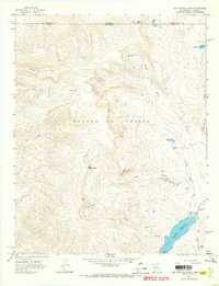
1963 Map of Big Costilla Peak
USGS Topo · Published 1968About this map
Sangre De Cristo mountains dominate this high-altitude landscape along the border of New Mexico and Colorado. The map centers on the massive massif of Big Costilla Peak, a focal point for the surrounding drainages of Jarocito Creek and Ute Creek. To the southeast, the Costilla Reservoir serves as a significant hydraulic feature, complete with a spillway and multiple Gaging Stations.
Find a feature on this map
25 named features on this map. Tap any name to fly to it.
Don’t see what you’re looking for? This feature index may not catch every label — zoom into the map to look around manually.
Map Details
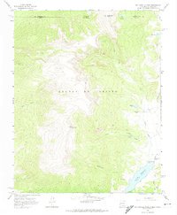
Editions of this 1963 Big Costilla Peak Map
3 editions found

Other maps of this area

1954 · Raton
USGS Topo · 1:250,000

1954 · Trinidad
USGS Topo · 1:250,000

1955 · Trinidad
USGS Topo · 1:250,000

1958 · Raton
USGS Topo · 1:250,000

1958 · Trinidad
USGS Topo · 1:250,000

1959 · Trinidad
USGS Topo · 1:250,000

1962 · Ash Mountain
USGS Topo · 1:62,500

1963 · Amalia
USGS Topo · 1:24,000

1963 · Latir Peak
USGS Topo · 1:24,000

1963 · Comanche Point
USGS Topo · 1:24,000