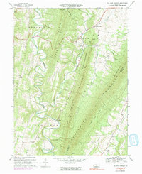
1967 Map of Big Cove Tannery
USGS Topo · Published 1991About this map
Tuscarora Mountain and Scrub Ridge dominate this section of Fulton and Franklin Counties, creating a landscape of steep parallel ridges and deep valleys. The settlement at Big Cove Tannery serves as a central point along Big Cove Creek, which carves through the narrow corridor between the heights of the Buchanan State Forest and the agricultural lands below. To the west, Licking Creek creates a dramatic series of meanders, winding tightly through the valley floor near Sharpe and Thompson.
Find a feature on this map
41 named features on this map. Tap any name to fly to it.
Don’t see what you’re looking for? This feature index may not catch every label — zoom into the map to look around manually.
Map Details
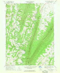
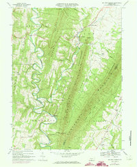
Editions of this 1967 Big Cove Tannery Map
3 editions found
Other maps of this area

1899 · Hancock
USGS Topo · 1:62,500

1900 · Mercersburg
USGS Topo · 1:62,500

1901 · Hancock
USGS Topo · 1:62,500

1902 · Mercersburg
USGS Topo · 1:62,500

1912 · Williamsport
USGS Topo · 1:62,500

1925 · Needmore
USGS Topo · 1:48,000

1935 · Needmore
USGS Topo · 1:62,500

1939 · Needmore
USGS Topo · 1:62,500

1942 · Hagerstown
USGS Topo · 1:125,000

1943 · Hagerstown
USGS Topo · 1:125,000