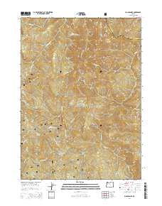
2014 Map of Big Craggies
USGS Topo · Published 2014About this map
Siskiyou National Forest land defines this portion of the Klamath Mountains, where the drainage of the Chetco River meets steep, high-elevation summits. The terrain is characterized by prominent peaks like Big Craggies, Green Craggie, and Mislatnah Peak, which tower over a network of tributary waters including Collier Cr, Mislatnah Cr, and Tincup Cr. In a landscape dominated by sharp vertical relief, small pockets of level ground are identified at High Prairie and Lately Prairie. Human activity is primarily represented by Forest Service access routes, such as Nat For Dev Rd 1376 and Nat For Dev Rd 060, providing passage to points like Humboldt Spring. The map documents the complex boundary between Josephine and Curry Counties, following the ridgelines that separate these watersheds.
Find a feature on this map
25 named features on this map. Tap any name to fly to it.
Don’t see what you’re looking for? This feature index may not catch every label — zoom into the map to look around manually.
Map Details
Editions of this 2014 Big Craggies Map
This is the sole edition of this map. No revisions or reprints were ever made.
Other maps of this area

1917 · Kerby
USGS Topo · 1:125,000

1918 · Kerby
USGS Topo · 1:125,000

1945 · Kerby
USGS Topo · 1:125,000

1954 · Coos Bay
USGS Topo · 1:250,000

1954 · Chetco Peak
USGS Topo · 1:62,500

1954 · Collier Butte
USGS Topo · 1:62,500

1954 · Mt. Emily
USGS Topo · 1:62,500

1954 · Pearsoll Peak
USGS Topo · 1:62,500

1955 · Medford
USGS Topo · 1:250,000

1957 · Medford
USGS Topo · 1:250,000