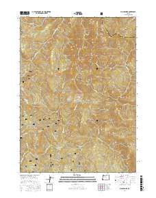
2017 Map of Big Craggies
USGS Topo · Published 2017About this map
Siskiyou National Forest lands dominate this part of the Klamath Mountains, where the high peaks of the Big Craggies and Green Craggie overlook a dense network of watercourses. The drainage patterns of Collier Cr and its southern fork carve into the northern terrain near Collier Butte, while the Chetco River flows through the southern reaches of the quadrangle. High-elevation clearings like High Prairie and Lately Prairie provide a distinct contrast to the steep drainage basins of Mislatnah Cr and Tincup Cr. Access to this remote wilderness is limited to a few specific corridors such as Nat For Dev RD 1376, which skirts the edge of the prairie lands and Humboldt Spring. This survey captures the complex topography of the Josephine and Curry County border, highlighting the transition between sharp summits like Mislatnah Peak and the deep river canyons below.
Find a feature on this map
27 named features on this map. Tap any name to fly to it.
Don’t see what you’re looking for? This feature index may not catch every label — zoom into the map to look around manually.
Map Details
Editions of this 2017 Big Craggies Map
This is the sole edition of this map. No revisions or reprints were ever made.
Other maps of this area

1917 · Kerby
USGS Topo · 1:125,000

1918 · Kerby
USGS Topo · 1:125,000

1945 · Kerby
USGS Topo · 1:125,000

1954 · Coos Bay
USGS Topo · 1:250,000

1954 · Chetco Peak
USGS Topo · 1:62,500

1954 · Collier Butte
USGS Topo · 1:62,500

1954 · Mt. Emily
USGS Topo · 1:62,500

1954 · Pearsoll Peak
USGS Topo · 1:62,500

1955 · Medford
USGS Topo · 1:250,000

1957 · Medford
USGS Topo · 1:250,000