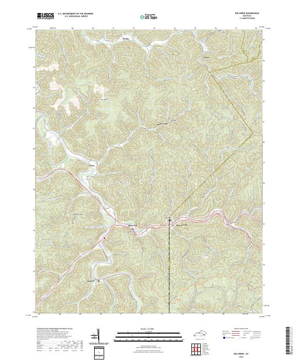
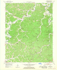
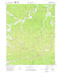
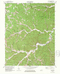
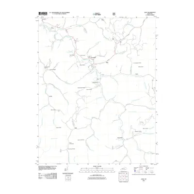
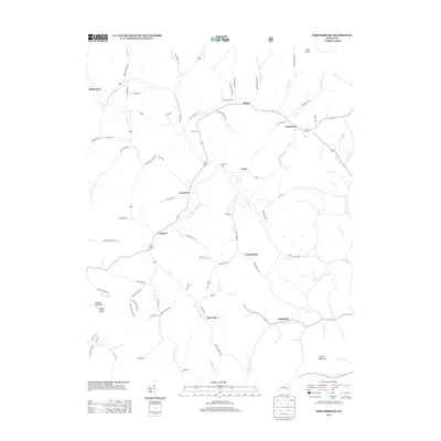
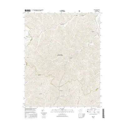
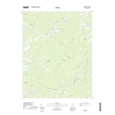
2022 Map of Big Creek
USGS Topo · Published 2022About this map
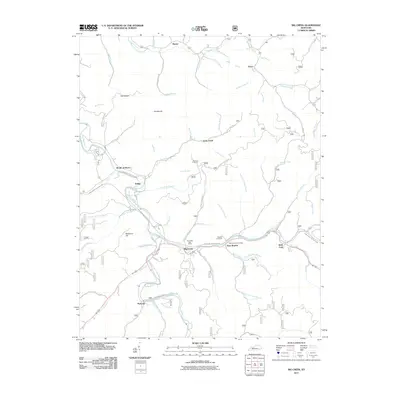
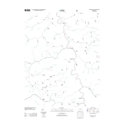
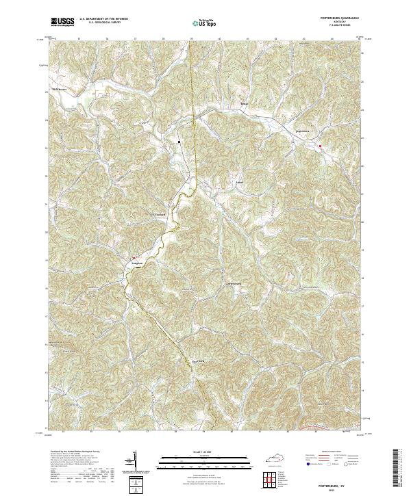
Big Creek and Bear Branch serve as the central landmarks of this mountain landscape, situated at the intersection of the Hal Rogers Pky and local routes. The settlement pattern follows the narrow creek valleys, with communities like Eriline and Peabody clustered along the Red Bird River. For those researching family history, Roberts Cem is a documented landmark near the junction of Bear Br and Cold Spring Br. The terrain is characterized by steep ridges and narrow bottoms, with names like Flat Woods and Trace Ridge providing a sense of the local topography. Long-distance recreation is evident through the Redbird Crest Trl, which winds across the southern portion of the quadrangle. The map also delineates the high ridges that form the political boundaries between Clay, Perry, and Leslie counties.
Find a feature on this map
71 named features on this map. Tap any name to fly to it.
Don’t see what you’re looking for? This feature index may not catch every label — zoom into the map to look around manually.
Map Details
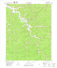
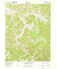
Editions of this 2022 Big Creek Map
This is the sole edition of this map. No revisions or reprints were ever made.
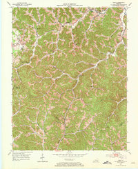
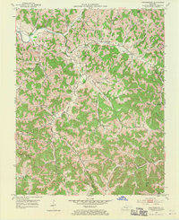
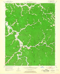
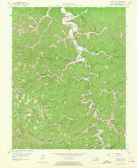
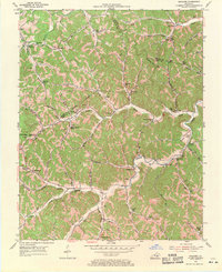
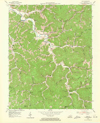
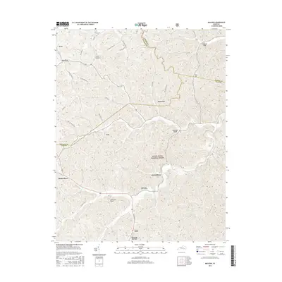
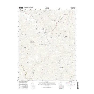
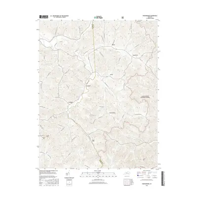
Historical Maps of Jacks Creek Through Time
49 maps found
1952 Hima
Clay County, KY
1952 Portersburg
Clay County, KY
1953 Big Creek
Clay County, KY
1954 Barcreek
Clay County, KY
1954 Creekville
Clay County, KY
1954 Maulden
Clay County, KY
1954 Ogle
Clay County, KY
1979 Barcreek
Clay County, KY
1979 Big Creek
Clay County, KY
1979 Creekville
Clay County, KY
1979 Hima
Clay County, KY
1979 Maulden
Clay County, KY
1979 Ogle
Clay County, KY
1979 Portersburg
Clay County, KY
2011 Barcreek
Clay County, KY
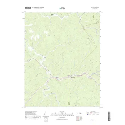
2011 Big Creek
Clay County, KY
2011 Creekville
Clay County, KY
2011 Hima
Clay County, KY
2011 Maulden
Clay County, KY
2011 Ogle
Clay County, KY
2011 Portersburg
Clay County, KY
2013 Barcreek
Clay County, KY
2013 Big Creek
Clay County, KY
2013 Creekville
Clay County, KY
2013 Hima
Clay County, KY
2013 Maulden
Clay County, KY
2013 Ogle
Clay County, KY
2013 Portersburg
Clay County, KY
2016 Barcreek
Clay County, KY
2016 Big Creek
Clay County, KY
2016 Creekville
Clay County, KY
2016 Hima
Clay County, KY
2016 Maulden
Clay County, KY
2016 Ogle
Clay County, KY
2016 Portersburg
Clay County, KY
2019 Barcreek
Clay County, KY
2019 Big Creek
Clay County, KY
2019 Creekville
Clay County, KY
2019 Hima
Clay County, KY
2019 Maulden
Clay County, KY
2019 Ogle
Clay County, KY
2019 Portersburg
Clay County, KY
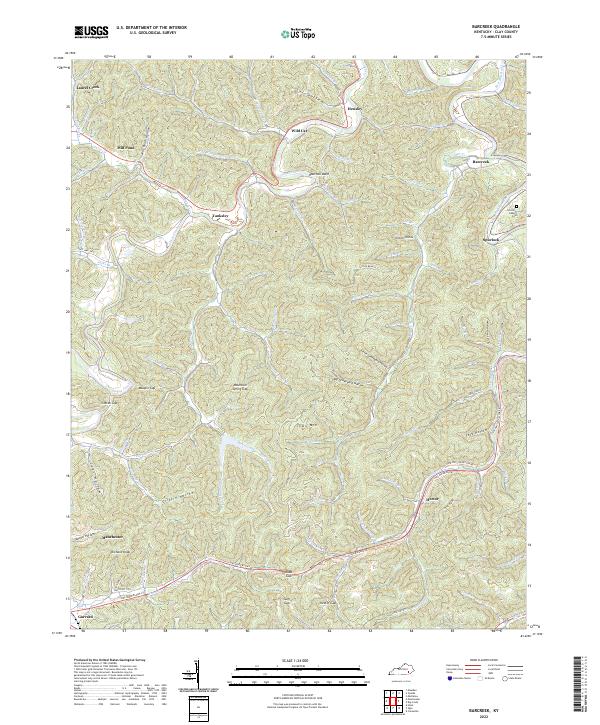
2022 Barcreek
Clay County, KY
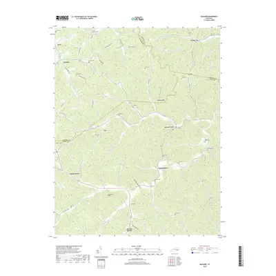
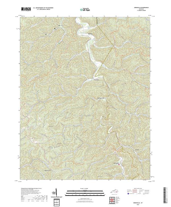
2022 Big Creek
Clay County, KY
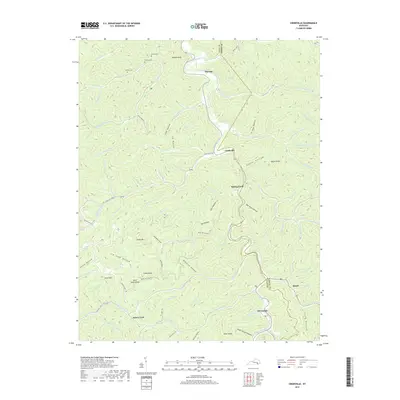
2022 Creekville
Clay County, KY
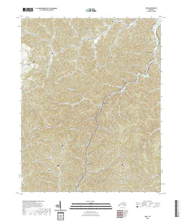
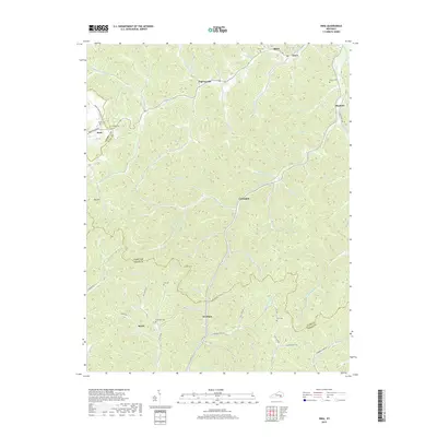
2022 Hima
Clay County, KY
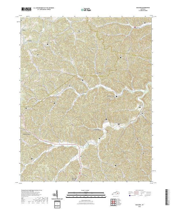
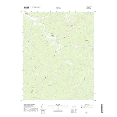
2022 Maulden
Clay County, KY
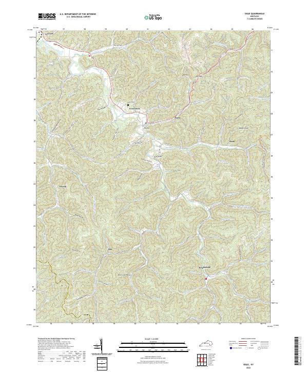
2022 Ogle
Clay County, KY
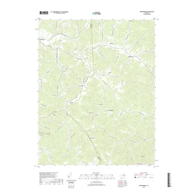
2022 Portersburg
Clay County, KY