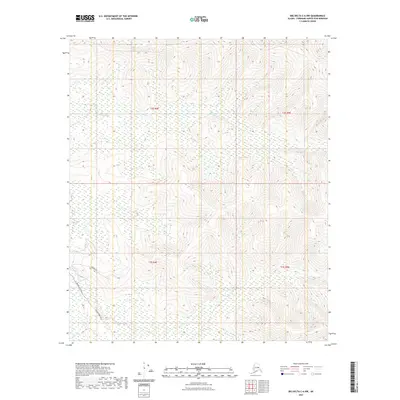
2021 Map of Big Delta C-6 NW
USGS Topo · Published 2021About this map
The Alaska Pipeline corridors through this interior landscape, marking a modern industrial layer over the natural drainage of the Fairbanks North Star Borough. Surface transport is limited to specialized routes like Pipeline Access Rd and Quarry Rd, which provide the few terrestrial links through the marshy terrain of the Moose Cr basin. The area is defined by its hydrology, with extensive wetlands feeding into watercourses such as French Cr in the southwest. This map documents the intersection of critical energy infrastructure with the subarctic wilderness, showing how human development is tethered to specific access corridors while much of the surrounding topography remains dominated by the seasonal flow of interior creeks.
Find a feature on this map
9 named features on this map. Tap any name to fly to it.
Don’t see what you’re looking for? This feature index may not catch every label — zoom into the map to look around manually.
Map Details
Editions of this 2021 Big Delta C-6 NW Map
This is the sole edition of this map. No revisions or reprints were ever made.
Other maps of this area

1949 · Fairbanks D-1
USGS Topo · 1:62,500

1949 · Fairbanks C-1
USGS Topo · 1:63,360

1949 · Big Delta C-6
USGS Topo · 1:63,360

1950 · Fairbanks
USGS Topo · 1:250,000

1950 · Big Delta
USGS Topo · 1:250,000

1950 · Big Delta D-6
USGS Topo · 1:63,360

1950 · Fairbanks C-1
USGS Topo · 1:63,360

1951 · Big Delta
USGS Topo · 1:250,000

1951 · Fairbanks
USGS Topo · 1:250,000

1952 · Big Delta C-6
USGS Topo · 1:63,360