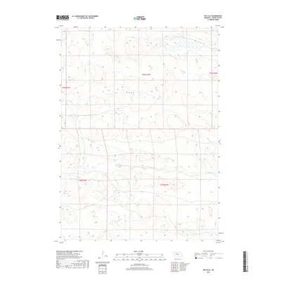
2017 Map of Big Falls
USGS Topo · Published 2017About this map
The North Loup River winds through this sparsely populated stretch of Cherry County, defining a landscape of rolling terrain and water features in the Nebraska Sandhills. The river corridor is the central geographical focus, marked by the namesake Big Falls and the nearby Horseshoe Falls, which represent rare hydrological landmarks in this region. This 2017 survey shows a territory dominated by the Public Land Survey System, with township boundaries for t28n r34w and t29n r33w overlaying a terrain largely devoid of formal settlements or road networks. The intricate contour lines and wetland signatures suggest a fragile ecosystem where water drainage patterns like those of the N Loup River dictate the land's utility and character.
Find a feature on this map
9 named features on this map. Tap any name to fly to it.
Don’t see what you’re looking for? This feature index may not catch every label — zoom into the map to look around manually.
Map Details
Editions of this 2017 Big Falls Map
This is the sole edition of this map. No revisions or reprints were ever made.
Other maps of this area

1949 · Big Falls
USGS Topo · 1:62,500

1950 · Powderhorn Valley
USGS Topo · 1:62,500

1950 · Doughboy
USGS Topo · 1:62,500

1950 · Wolf Lake
USGS Topo · 1:62,500

1951 · Big Falls
USGS Topo · 1:62,500

1951 · Wolf Lake
USGS Topo · 1:62,500

1952 · Doughboy
USGS Topo · 1:62,500

1957 · Valentine
USGS Topo · 1:250,000

1959 · Valentine
USGS Topo · 1:250,000

1985 · Powderhorn Valley SW
USGS Topo · 1:24,000