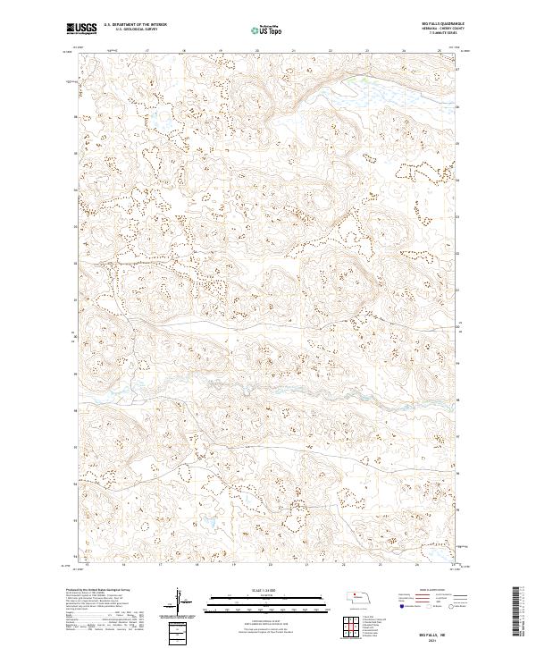
2021 Map of Big Falls
USGS Topo · Published 2021About this map
The N Loup River carves through the undulating sandhills of Cherry County, creating a distinctive hydrological landscape in this portion of Nebraska. This contemporary survey highlights the remote water features of the region, specifically marking the locations of Big Falls and Horseshoe Falls along the river's path. The map provides a detailed view of the terrain within Township 28 and 29 North, illustrating the complex drainage patterns where the North Loup River begins its eastern journey. This is a landscape defined by its hydrology, where the presence of named falls is a rare and significant landmark in the vast Nebraska interior, serving as a primary point of interest for those studying the natural history and geographical progression of the Loup River system.
Find a feature on this map
9 named features on this map. Tap any name to fly to it.
Don’t see what you’re looking for? This feature index may not catch every label — zoom into the map to look around manually.
Map Details
Editions of this 2021 Big Falls Map
This is the sole edition of this map. No revisions or reprints were ever made.
Other maps of this area

1949 · Big Falls
USGS Topo · 1:62,500

1950 · Powderhorn Valley
USGS Topo · 1:62,500

1950 · Doughboy
USGS Topo · 1:62,500

1950 · Wolf Lake
USGS Topo · 1:62,500

1951 · Big Falls
USGS Topo · 1:62,500

1951 · Wolf Lake
USGS Topo · 1:62,500

1952 · Doughboy
USGS Topo · 1:62,500

1957 · Valentine
USGS Topo · 1:250,000

1959 · Valentine
USGS Topo · 1:250,000

1985 · Powderhorn Valley SW
USGS Topo · 1:24,000