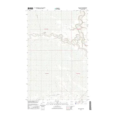
2016 Map of Big Falls NW
USGS Topo · Published 2016About this map
The Sturgeon River carves a winding path through the northern reaches of Koochiching County, eventually joining the larger Big Fork River in this sparsely populated area of northern Minnesota. The landscape is characterized by its complex hydrology, including the Shingeon River and Ostby Cr, set against the subtle elevation of Hickes Ridge. For local history and genealogy researchers, the Lower Sturgeon River Cem serves as a critical landmark on the river’s north bank. A network of rural forest roads, such as Westrom Forest Rd and Big Meadow Rd, provides the primary access to these remote timberlands and wetlands. The map illustrates the persistent importance of river navigation and forest management in this region, where modern road infrastructure like Sturgeon River Landing Rd follows historical corridors of movement.
Find a feature on this map
17 named features on this map. Tap any name to fly to it.
Don’t see what you’re looking for? This feature index may not catch every label — zoom into the map to look around manually.
Map Details
Editions of this 2016 Big Falls NW Map
This is the sole edition of this map. No revisions or reprints were ever made.
Other maps of this area

1919 · Lundgren
USGS Topo · 1:62,500

1919 · I
USGS Topo · 1:62,500

1919 · Margie
USGS Topo · 1:62,500

1943 · Lindford
USGS Topo · 1:62,500

1954 · Roseau
USGS Topo · 1:250,000

1954 · International Falls
USGS Topo · 1:250,000

1957 · Roseau
USGS Topo · 1:250,000

1957 · International Falls
USGS Topo · 1:250,000

1958 · International Falls
USGS Topo · 1:250,000

1958 · Roseau
USGS Topo · 1:250,000