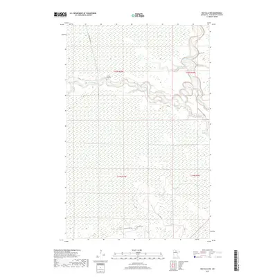
2019 Map of Big Falls NW
USGS Topo · Published 2019About this map
The Sturgeon River meanders across this northern Minnesota landscape, creating deep oxbows as it flows toward its confluence with the Big Fork River. This 2019 survey shows the remote wilderness of Koochiching County, where the topography is defined by the drainage of Ostby Cr and the low-lying wetlands typical of the region. Local history and genealogy researchers will find the Lower Sturgeon River Cem located on a bend in the river, providing a significant marker in an area otherwise characterized by vast forest and limited road access. Practical transport is restricted to routes like Sturgeon River Landing Rd and Westrom Forest Rd, reflecting the area's history of logging and forest management. The presence of named roads such as Toomey Williams Rd and Hickes Ridge Rd points to the legacy of local families who navigated this intricate river-and-forest system.
Find a feature on this map
14 named features on this map. Tap any name to fly to it.
Don’t see what you’re looking for? This feature index may not catch every label — zoom into the map to look around manually.
Map Details
Editions of this 2019 Big Falls NW Map
This is the sole edition of this map. No revisions or reprints were ever made.
Other maps of this area

1919 · Lundgren
USGS Topo · 1:62,500

1919 · I
USGS Topo · 1:62,500

1919 · Margie
USGS Topo · 1:62,500

1943 · Lindford
USGS Topo · 1:62,500

1954 · Roseau
USGS Topo · 1:250,000

1954 · International Falls
USGS Topo · 1:250,000

1957 · Roseau
USGS Topo · 1:250,000

1957 · International Falls
USGS Topo · 1:250,000

1958 · International Falls
USGS Topo · 1:250,000

1958 · Roseau
USGS Topo · 1:250,000