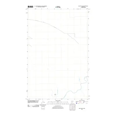
2010 Map of Big Falls SE
USGS Topo · Published 2010About this map
Big Fork River meanders across this northern landscape in Koochiching County, showing the watercourse's intricate path through a largely undeveloped woodland corridor. The southern portion of the map identifies the Caldwell Brook Cemetery, a vital landmark for genealogists and local historians tracing family history in this area. Movement through the territory is primarily facilitated by Porter Ridge Rd, which cuts across the northern terrain. This 2010 survey reflects a period of modern land management in Minnesota's northern forests, where the primary features are defined by natural drainage and a few isolated access routes through the dense forest cover.
Find a feature on this map
3 named features on this map. Tap any name to fly to it.
Don’t see what you’re looking for? This feature index may not catch every label — zoom into the map to look around manually.
Map Details
Editions of this 2010 Big Falls SE Map
This is the sole edition of this map. No revisions or reprints were ever made.
Other maps of this area

1918 · Zora
USGS Topo · 1:62,500

1919 · Zora
USGS Topo · 1:62,500

1919 · M
USGS Topo · 1:62,500

1919 · Margie
USGS Topo · 1:62,500

1954 · Hibbing
USGS Topo · 1:250,000

1954 · International Falls
USGS Topo · 1:250,000

1957 · Hibbing
USGS Topo · 1:250,000

1957 · International Falls
USGS Topo · 1:250,000

1958 · International Falls
USGS Topo · 1:250,000

1958 · Hibbing
USGS Topo · 1:250,000