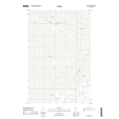
2019 Map of Big Falls SE
USGS Topo · Published 2019About this map
Big Fork River meanders through this remote portion of Koochiching County, cutting a winding path through the wetland-heavy terrain of northern Minnesota. This landscape is defined by vast tracts of protected marsh and forest, with the Caldwell Brook Cem standing as a primary point of historical reference in an area with few formal settlements. Public land divisions across several townships, including t152n r25w and t154n r25w, illustrate the grid-based survey system used to organize this wilderness. Access to the interior is limited to a small number of thoroughfares, most notably Porter Ridge Rd, which traverses the northern section of the map, providing a glimpse into the logging and transit routes utilized in the region's modern era.
Find a feature on this map
8 named features on this map. Tap any name to fly to it.
Don’t see what you’re looking for? This feature index may not catch every label — zoom into the map to look around manually.
Map Details
Editions of this 2019 Big Falls SE Map
This is the sole edition of this map. No revisions or reprints were ever made.
Other maps of this area

1918 · Zora
USGS Topo · 1:62,500

1919 · Zora
USGS Topo · 1:62,500

1919 · M
USGS Topo · 1:62,500

1919 · Margie
USGS Topo · 1:62,500

1954 · Hibbing
USGS Topo · 1:250,000

1954 · International Falls
USGS Topo · 1:250,000

1957 · Hibbing
USGS Topo · 1:250,000

1957 · International Falls
USGS Topo · 1:250,000

1958 · International Falls
USGS Topo · 1:250,000

1958 · Hibbing
USGS Topo · 1:250,000