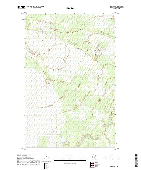
2022 Map of Big Falls SE
USGS Topo · Published 2022About this map
The Big Fork River winds through the southeastern corner of this region, carving a path through a landscape defined by extensive wetlands and forest management divisions. This part of Koochiching County reflects the systematic organization of the Public Land Survey System, with the terrain partitioned into townships such as t152n r25w and t64n r27w. The presence of the Caldwell Brook Cem near the southern boundary serves as a quiet marker of early settlement along the river corridor, while Porter Ridge Rd provides the primary overland transit through the interior. The map illustrates a largely unpopulated interior where natural water cycles and timber boundaries shape the land's character more than urban development.
Find a feature on this map
8 named features on this map. Tap any name to fly to it.
Don’t see what you’re looking for? This feature index may not catch every label — zoom into the map to look around manually.
Map Details
Editions of this 2022 Big Falls SE Map
This is the sole edition of this map. No revisions or reprints were ever made.
Other maps of this area

1918 · Zora
USGS Topo · 1:62,500

1919 · Zora
USGS Topo · 1:62,500

1919 · M
USGS Topo · 1:62,500

1919 · Margie
USGS Topo · 1:62,500

1954 · Hibbing
USGS Topo · 1:250,000

1954 · International Falls
USGS Topo · 1:250,000

1957 · Hibbing
USGS Topo · 1:250,000

1957 · International Falls
USGS Topo · 1:250,000

1958 · International Falls
USGS Topo · 1:250,000

1958 · Hibbing
USGS Topo · 1:250,000