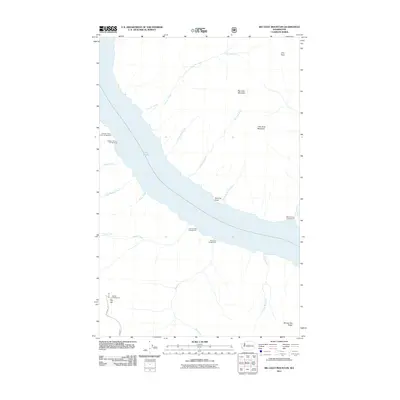
2011 Map of Big Goat Mountain
USGS Topo · Published 2011About this map
Lake Chelan dominates the western half of this 2011 survey, showing the steep northern shoreline where drainage systems like Lone Fir Creek and Deep Harbor Creek feed into the lake. The high-altitude terrain is marked by prominent summits such as Big Goat Mountain, Little Goat Mountain, and the towering Uno Peak in the northeast corner. This map documents a recreation-heavy landscape focused on access points along the water and high ridges, with several campgrounds situated at the mouths of mountain streams. To the south, the landscape rises toward Big Hill and the long expanse of Barney Zell Ridge. Transportation is notably sparse, with the presence of Nat For Dev Rd 112 serving as a primary corridor through the high country above the lake's eastern shore near Big Hill Campground.
Find a feature on this map
25 named features on this map. Tap any name to fly to it.
Don’t see what you’re looking for? This feature index may not catch every label — zoom into the map to look around manually.
Map Details
Editions of this 2011 Big Goat Mountain Map
This is the sole edition of this map. No revisions or reprints were ever made.
Other maps of this area

1899 · Methow
USGS Topo · 1:125,000

1901 · Chelan
USGS Topo · 1:125,000

1901 · Methow
USGS Topo · 1:125,000

1901 · Chiwaukum
USGS Topo · 1:125,000

1902 · Stehekin
USGS Topo · 1:125,000

1904 · Stehekin
USGS Topo · 1:125,000

1904 · Chiwaukum
USGS Topo · 1:125,000

1944 · Lucerne
USGS Topo · 1:62,500

1949 · Lucerne
USGS Topo · 1:62,500

1955 · Concrete
USGS Topo · 1:250,000