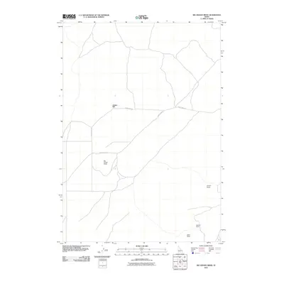
2010 Map of Big Grassy Ridge
USGS Topo · Published 2010About this map
Jenkins Will serves as a lone named focal point in this high desert landscape of eastern Idaho, situated along the path of Grassy Ridge Rd. The terrain is defined by volcanic and sagebrush features, including the prominent landform of Big Grassy Ridge which stretches across the western portion of the sheet. The network of primitive tracks, such as 18 Davis Lake Rd, suggests a landscape used primarily for ranching and resource access rather than dense settlement.
Find a feature on this map
7 named features on this map. Tap any name to fly to it.
Don’t see what you’re looking for? This feature index may not catch every label — zoom into the map to look around manually.
Map Details
Editions of this 2010 Big Grassy Ridge Map
This is the sole edition of this map. No revisions or reprints were ever made.
Other maps of this area

1948 · Parker
USGS Topo · 1:24,000

1950 · Parker
USGS Topo · 1:24,000

1951 · Plano
USGS Topo · 1:24,000

1955 · Dubois
USGS Topo · 1:250,000

1955 · Idaho Falls
USGS Topo · 1:250,000

1955 · Ashton
USGS Topo · 1:250,000

1955 · Driggs
USGS Topo · 1:250,000

1958 · Driggs
USGS Topo · 1:250,000

1958 · Dubois
USGS Topo · 1:250,000

1958 · Idaho Falls
USGS Topo · 1:250,000