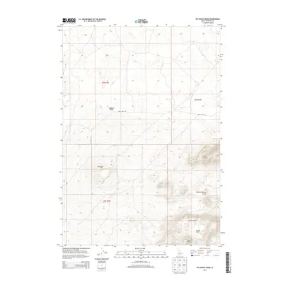
2013 Map of Big Grassy Ridge
USGS Topo · Published 2013About this map
Big Grassy Ridge defines the volcanic and sagebrush-covered landscape of this Fremont County corner in the early 21st century. The map provides a detailed view of the complex topography within the Juniper Buttes, including the distinct elevations of North Junipers, South Junipers, and the prominent West Butte. This area, characterized by its high-desert relief and lava-influenced terrain, shows very little human footprint beyond essential infrastructure.
Find a feature on this map
12 named features on this map. Tap any name to fly to it.
Don’t see what you’re looking for? This feature index may not catch every label — zoom into the map to look around manually.
Map Details
Editions of this 2013 Big Grassy Ridge Map
This is the sole edition of this map. No revisions or reprints were ever made.
Other maps of this area

1948 · Parker
USGS Topo · 1:24,000

1950 · Parker
USGS Topo · 1:24,000

1951 · Plano
USGS Topo · 1:24,000

1955 · Dubois
USGS Topo · 1:250,000

1955 · Idaho Falls
USGS Topo · 1:250,000

1955 · Ashton
USGS Topo · 1:250,000

1955 · Driggs
USGS Topo · 1:250,000

1958 · Driggs
USGS Topo · 1:250,000

1958 · Dubois
USGS Topo · 1:250,000

1958 · Idaho Falls
USGS Topo · 1:250,000