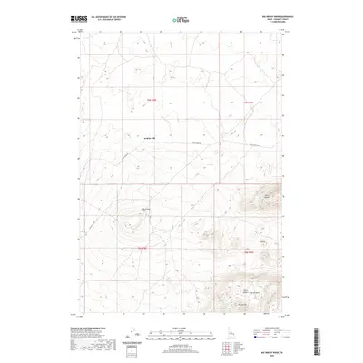
2020 Map of Big Grassy Ridge
USGS Topo · Published 2020About this map
Big Grassy Ridge dominates this portion of Fremont County, where the high desert landscape of eastern Idaho is defined by volcanic features and sweeping rangeland. The map illustrates a transition from the relatively level ground near Jenkins Will in the north to the increasingly complex topography of the North Junipers and Juniper Buttes in the southeast. This area is characterized by its volcanic origins, with landmarks such as West Butte rising above the surrounding terrain.
Find a feature on this map
13 named features on this map. Tap any name to fly to it.
Don’t see what you’re looking for? This feature index may not catch every label — zoom into the map to look around manually.
Map Details
Editions of this 2020 Big Grassy Ridge Map
This is the sole edition of this map. No revisions or reprints were ever made.
Other maps of this area

1948 · Parker
USGS Topo · 1:24,000

1950 · Parker
USGS Topo · 1:24,000

1951 · Plano
USGS Topo · 1:24,000

1955 · Dubois
USGS Topo · 1:250,000

1955 · Idaho Falls
USGS Topo · 1:250,000

1955 · Ashton
USGS Topo · 1:250,000

1955 · Driggs
USGS Topo · 1:250,000

1958 · Driggs
USGS Topo · 1:250,000

1958 · Dubois
USGS Topo · 1:250,000

1958 · Idaho Falls
USGS Topo · 1:250,000