
1970 Map of Big Hill
USGS Topo · Published 1973About this map
The arid ranchlands of Reeves County are defined here by a network of water tanks and windmills essential for livestock in the high desert. Scattered throughout the landscape, family-named landmarks like McIlvain Draw and Johnson Hill provide orientation in the vast terrain south of the Pecos River valley. The dependence on managed water is evident in the prevalence of features like McIlvain Tank, Mare Tank, and Langham Tank, which capture infrequent runoff in an area where permanent surface water is scarce.
Find a feature on this map
24 named features on this map. Tap any name to fly to it.
Don’t see what you’re looking for? This feature index may not catch every label — zoom into the map to look around manually.
Map Details
Editions of this 1970 Big Hill Map
This is the sole edition of this map. No revisions or reprints were ever made.
Other maps of this area

1921 · Toyah
USGS Topo · 1:125,000

1954 · Pecos
USGS Topo · 1:250,000

1957 · Pecos
USGS Topo · 1:250,000

1968 · W T Ranch
USGS Topo · 1:24,000
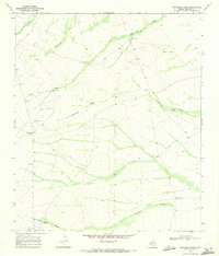
1968 · Halamicek Ranch
USGS Topo · 1:24,000

1968 · Mentone SW
USGS Topo · 1:24,000

1970 · Hermosa SW
USGS Topo · 1:24,000

1970 · Toyah
USGS Topo · 1:24,000
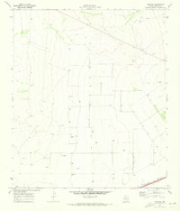
1970 · Hermosa
USGS Topo · 1:24,000
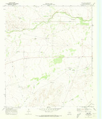
1970 · Toyah SW
USGS Topo · 1:24,000