
1970 Map of Hermosa SW
USGS Topo · Published 1973About this map
Arid West Texas landscapes dominated by water management and transit infrastructure characterize this 1970 survey of Reeves County. The Texas and Pacific railroad corridor serves as the primary artery through the northern section, paralleled by a Pipeline network that reflects the region's industrial utility. At a time when local agriculture relied on centralized processing, a lone Cotton Gin stands as a significant landmark for the surrounding rural economy.
Find a feature on this map
10 named features on this map. Tap any name to fly to it.
Don’t see what you’re looking for? This feature index may not catch every label — zoom into the map to look around manually.
Map Details
Editions of this 1970 Hermosa SW Map
This is the sole edition of this map. No revisions or reprints were ever made.
Other maps of this area

1921 · Toyah
USGS Topo · 1:125,000

1954 · Pecos
USGS Topo · 1:250,000

1955 · Saragosa
USGS Topo · 1:62,500

1957 · Pecos
USGS Topo · 1:250,000

1970 · Florenzo Hill
USGS Topo · 1:24,000

1970 · Big Hill
USGS Topo · 1:24,000

1970 · Toyah
USGS Topo · 1:24,000
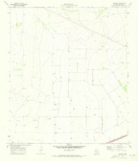
1970 · Hermosa
USGS Topo · 1:24,000
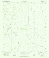
1970 · Saragosa NW
USGS Topo · 1:24,000
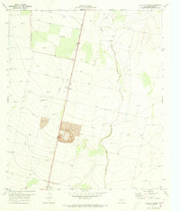
1971 · Verhalen North
USGS Topo · 1:24,000