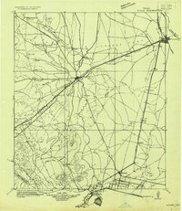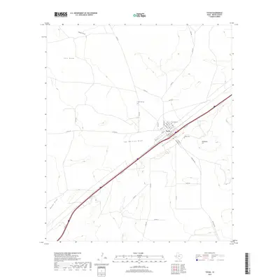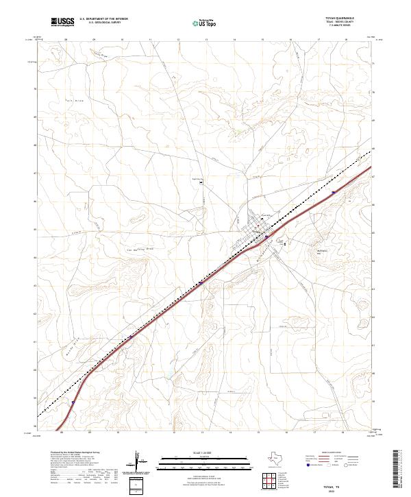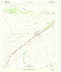
1970 Map of Toyah
USGS Topo · Published 1973About this map
The town of Toyah occupies a central position on this Reeves County landscape, serving as a hub for the Texas and Pacific railroad during the early 1970s. The settlement layout includes an Athletic Field and Park, while its history is preserved at the Toyah Old Cem and Toyah New Cem located on the town's periphery. The surrounding terrain is defined by a network of drainage channels, including China Draw, Salt Draw, and Billingslea Draw, which cut through the arid plains toward Bullington Hill.
Find a feature on this map
29 named features on this map. Tap any name to fly to it.
Don’t see what you’re looking for? This feature index may not catch every label — zoom into the map to look around manually.
Map Details
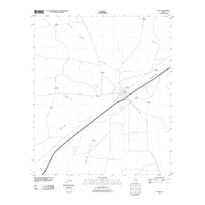
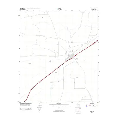
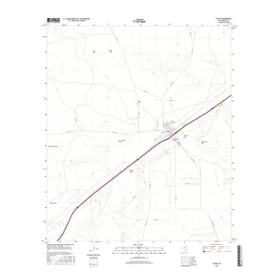
Editions of this 1970 Toyah Map
This is the sole edition of this map. No revisions or reprints were ever made.
Historical Maps of Toyah Through Time
7 maps found