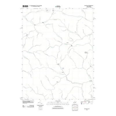
2011 Map of Big Isaac
USGS Topo · Published 2011About this map
Big Isaac and the surrounding rural communities of Kincheloe and Miletus define the character of this Harrison County landscape. The terrain is deeply carved by a network of waterways including Kincheloe Creek, Big Isaac Creek, and Buckeye Creek, which dictate the winding paths of the region's county highways. The map provides significant detail for genealogical research, documenting numerous family and community burial grounds such as the Day Cemetery, Morris Cemetery, and Mount Olive Cemetery.
Find a feature on this map
92 named features on this map. Tap any name to fly to it.
Don’t see what you’re looking for? This feature index may not catch every label — zoom into the map to look around manually.
Map Details
Editions of this 2011 Big Isaac Map
This is the sole edition of this map. No revisions or reprints were ever made.
Other maps of this area

1902 · Clarksburg
USGS Topo · 1:62,500

1904 · Weston
USGS Topo · 1:62,500

1904 · Vadis
USGS Topo · 1:62,500

1905 · Centerpoint
USGS Topo · 1:62,500

1910 · Clarksburg
USGS Topo · 1:62,500

1923 · Clarksburg
USGS Topo · 1:62,500

1924 · Centerpoint
USGS Topo · 1:62,500

1925 · Clarksburg
USGS Topo · 1:62,500

1925 · Centerpoint
USGS Topo · 1:62,500

1925 · Vadis
USGS Topo · 1:62,500