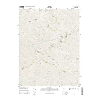
2014 Map of Big Isaac
USGS Topo · Published 2014About this map
Big Isaac and the surrounding hollows of Harrison, Doddridge, and Lewis Counties are defined by a complex network of runs and forks that have shaped local settlement for generations. The geography here is characterized by high ridges and narrow valleys where small communities like Miletus, Zinnia, and Benson are situated. Notable family and community landmarks are scattered throughout the landscape, including Mt Carmel Cem and the Pleasant Hill Cem.
Find a feature on this map
96 named features on this map. Tap any name to fly to it.
Don’t see what you’re looking for? This feature index may not catch every label — zoom into the map to look around manually.
Map Details
Editions of this 2014 Big Isaac Map
This is the sole edition of this map. No revisions or reprints were ever made.
Other maps of this area

1902 · Clarksburg
USGS Topo · 1:62,500

1904 · Weston
USGS Topo · 1:62,500

1904 · Vadis
USGS Topo · 1:62,500

1905 · Centerpoint
USGS Topo · 1:62,500

1910 · Clarksburg
USGS Topo · 1:62,500

1923 · Clarksburg
USGS Topo · 1:62,500

1924 · Centerpoint
USGS Topo · 1:62,500

1925 · Clarksburg
USGS Topo · 1:62,500

1925 · Centerpoint
USGS Topo · 1:62,500

1925 · Vadis
USGS Topo · 1:62,500