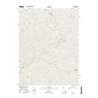
2016 Map of Big Isaac
USGS Topo · Published 2016About this map
The borderlands of Harrison, Doddridge, and Lewis Counties are defined by a complex network of narrow hollows and stream forks, including Right Fork Kincheloe Cr and Meathouse Fork. Small rural settlements like Big Isaac and Kincheloe serve as focal points for this upland landscape, where life follows the drainage patterns of Indian Fork and Little Isaac Cr. The map reveals a deeply rooted community structure, evidenced by numerous family and church burial grounds such as Mount Lebanon Cem, Big Isaac Cem, and Morris Cem.
Find a feature on this map
101 named features on this map. Tap any name to fly to it.
Don’t see what you’re looking for? This feature index may not catch every label — zoom into the map to look around manually.
Map Details
Editions of this 2016 Big Isaac Map
This is the sole edition of this map. No revisions or reprints were ever made.
Other maps of this area

1902 · Clarksburg
USGS Topo · 1:62,500

1904 · Weston
USGS Topo · 1:62,500

1904 · Vadis
USGS Topo · 1:62,500

1905 · Centerpoint
USGS Topo · 1:62,500

1910 · Clarksburg
USGS Topo · 1:62,500

1923 · Clarksburg
USGS Topo · 1:62,500

1924 · Centerpoint
USGS Topo · 1:62,500

1925 · Clarksburg
USGS Topo · 1:62,500

1925 · Centerpoint
USGS Topo · 1:62,500

1925 · Vadis
USGS Topo · 1:62,500