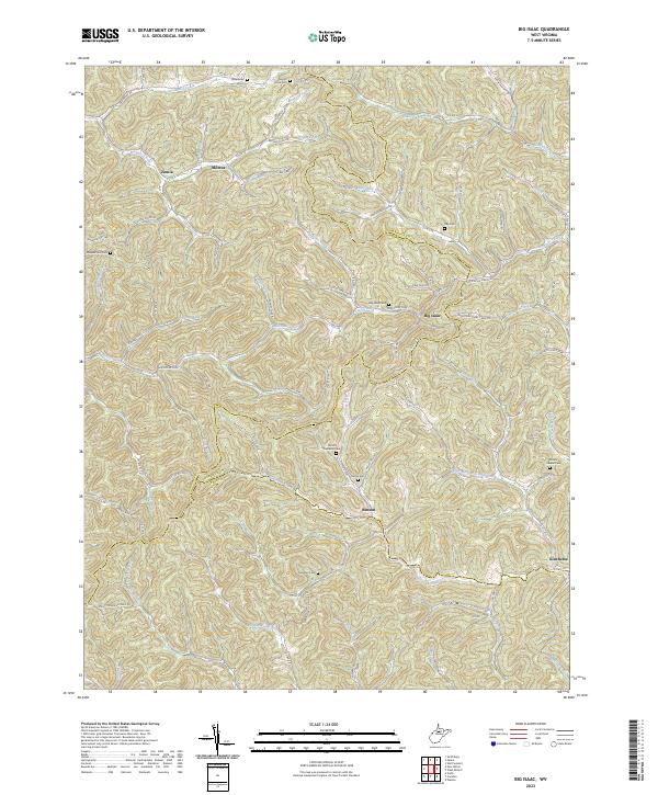
2023 Map of Big Isaac
USGS Topo · Published 2023About this map
The community of Big Isaac sits at the junction of Laurel Run and Big Isaac Creek, serving as a central point in this part of the West Virginia Highlands. This area is characterized by a dense network of winding hollows and narrow valleys, where small settlements like Miletus, Benson, and Kincheloe follow the courses of streams such as Kincheloe Creek and the Meathouse Fork. The complex topography is underscored by Standing Stone Ridge and numerous named runs that define the local geography.
Find a feature on this map
118 named features on this map. Tap any name to fly to it.
Don’t see what you’re looking for? This feature index may not catch every label — zoom into the map to look around manually.
Map Details
Editions of this 2023 Big Isaac Map
This is the sole edition of this map. No revisions or reprints were ever made.
Other maps of this area

1902 · Clarksburg
USGS Topo · 1:62,500

1904 · Weston
USGS Topo · 1:62,500

1904 · Vadis
USGS Topo · 1:62,500

1905 · Centerpoint
USGS Topo · 1:62,500

1910 · Clarksburg
USGS Topo · 1:62,500

1923 · Clarksburg
USGS Topo · 1:62,500

1924 · Centerpoint
USGS Topo · 1:62,500

1925 · Clarksburg
USGS Topo · 1:62,500

1925 · Centerpoint
USGS Topo · 1:62,500

1925 · Vadis
USGS Topo · 1:62,500