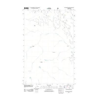
2011 Map of Big Jim Mountain
USGS Topo · Published 2011About this map
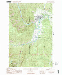
Big Jim Mountain dominates this high-altitude landscape in Chelan County, where the hydrological patterns of the Wenatchee National Forest are mapped in precise detail. The area is defined by a dense network of alpine drainage systems, with Chiwaukum Creek and Roaring Creek carving through the steep topography of Mccue Ridge. This 2011 survey captures the layout of numerous alpine water bodies, including the secluded Lake Augusta, Carter Lake, and the small Big Jim Mountain Lakes. The presence of features like Timothy Meadow and the starkly named The Badlands suggests a varied terrain of subalpine openings and exposed rocky outcrops. Researchers will find a pristine representation of the backcountry, focusing on the natural landmarks used for navigation and resource management in this portion of the Cascades.
Find a feature on this map
23 named features on this map. Tap any name to fly to it.
Don’t see what you’re looking for? This feature index may not catch every label — zoom into the map to look around manually.
Map Details
Editions of this 2011 Big Jim Mountain Map
This is the sole edition of this map. No revisions or reprints were ever made.
Other maps of this area

1901 · Chiwaukum
USGS Topo · 1:125,000

1904 · Chiwaukum
USGS Topo · 1:125,000

1957 · Wenatchee
USGS Topo · 1:250,000

1964 · Leavenworth
USGS Topo · 1:62,500

1965 · Chiwaukum Mts
USGS Topo · 1:62,500

1965 · Wenatchee Lake
USGS Topo · 1:62,500
1968 · Plain
USGS Topo · 1:24,000
1975 · Chelan
USGS Topo · 1:100,000
1989 · Big Jim Mountain
USGS Topo · 1:24,000
1989 · Leavenworth
USGS Topo · 1:24,000