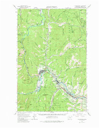
1989 Map of Leavenworth
USGS Topo · Published 1989About this map
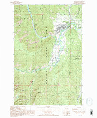
Leavenworth is situated at the confluence of the Wenatchee River and Icicle Creek, serving as a central hub in the late 1980s before the full expansion of the regional tourism economy. The landscape is defined by the transition from the valley floor to the high peaks of the Stuart Range and the Alpine Lakes Wilderness. The map illustrates the town's social and industrial infrastructure, from the Cascade Jr-Sr High and Mtn View Cem to the Leavenworth National Fish Hatchery located just south of town. Notable geological landmarks like Tumwater Mountain and Snow Creek Wall dominate the surrounding terrain, while the Icicle Canal and various ditches indicate the complex water management required for the area's development. This survey, edited in 1989, captures the town's layout including the Golf Course and several trailer parks, reflecting a community balancing its forest service heritage with modern recreational growth.
Find a feature on this map
37 named features on this map. Tap any name to fly to it.
Don’t see what you’re looking for? This feature index may not catch every label — zoom into the map to look around manually.
Map Details
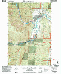
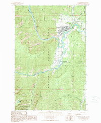
Editions of this 1989 Leavenworth Map
3 editions found
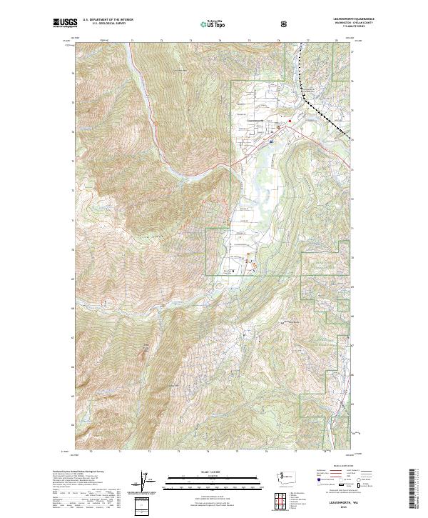
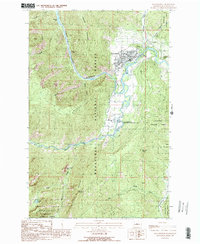
Historical Maps of Leavenworth Through Time
4 maps found