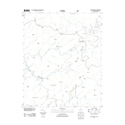
2011 Map of Big Junction
USGS Topo · Published 2011About this map
The Unicoi Mountains define the character of this borderland area between Tennessee and North Carolina, where high-elevation landmarks like Big Junction and Haw Knob dominate the skyline. By 2011, the modern Cherohala Skyway winds across the high ridges, providing passage through a landscape historically defined by its isolated coves and watercourses. Genealogists and local historians can locate Green Cove Cemetery near the western edge of the map, while the hydrological network of the Tellico River and Santeetlah Creek systems provides the framework for understanding early settlement patterns in Queen Cove and Kirkland Cove. Practical resource management is evident at the Pleasant Field Rearing Pools and Pheasant Field Rearing Pools along the river. This survey captures a moment where modern infrastructure meets the old footpaths and trails like the Sycamore Trl, preserved within the national forest system.
Find a feature on this map
93 named features on this map. Tap any name to fly to it.
Don’t see what you’re looking for? This feature index may not catch every label — zoom into the map to look around manually.
Map Details
Editions of this 2011 Big Junction Map
This is the sole edition of this map. No revisions or reprints were ever made.
Other maps of this area

1893 · Murphy
USGS Topo · 1:125,000

1914 · Murphy
USGS Topo · 1:125,000

1927 · Big Junction
USGS Topo · 1:24,000

1933 · Haw Knob
USGS Topo · 1:48,000

1933 · Whiteoak Flats
USGS Topo · 1:24,000

1933 · Bald River Falls
USGS Topo · 1:24,000

1933 · Rafter
USGS Topo · 1:24,000

1934 · McDaniel Bald
USGS Topo · 1:24,000

1934 · Unaka
USGS Topo · 1:24,000

1934 · Murphy
USGS Topo · 1:48,000