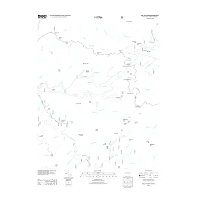
2013 Map of Big Junction
USGS Topo · Published 2013About this map
The Unicoi Mountains define this high-elevation landscape along the border of Tennessee and North Carolina, where steep ridges like Hampton Lead and McIntyre Lead separate deep creek drainages. Human activity in these remote reaches is concentrated around specific forest sites, such as the Whigg Cabin and Fain Cabin, which serve as markers of habitation within the dense timberlands. The Tellico River winds through the lower elevations, supported by the Pheasant Field Rearing Pools and passing near the Tellico River Lodge.
Find a feature on this map
98 named features on this map. Tap any name to fly to it.
Don’t see what you’re looking for? This feature index may not catch every label — zoom into the map to look around manually.
Map Details
Editions of this 2013 Big Junction Map
This is the sole edition of this map. No revisions or reprints were ever made.
Other maps of this area

1893 · Murphy
USGS Topo · 1:125,000

1914 · Murphy
USGS Topo · 1:125,000

1927 · Big Junction
USGS Topo · 1:24,000

1933 · Haw Knob
USGS Topo · 1:48,000

1933 · Whiteoak Flats
USGS Topo · 1:24,000

1933 · Bald River Falls
USGS Topo · 1:24,000

1933 · Rafter
USGS Topo · 1:24,000

1934 · McDaniel Bald
USGS Topo · 1:24,000

1934 · Unaka
USGS Topo · 1:24,000

1934 · Murphy
USGS Topo · 1:48,000